
Images


December 2, 2015 - Kerguelen Island, South Indian Ocean
 Tweet
Tweet
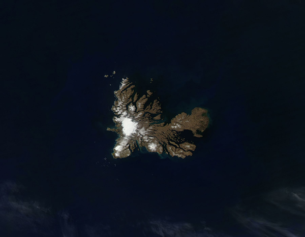
The Kerguelen Islands are a group of remote, windswept islands which lie in the southern Indian Ocean roughly equidistantly between Africa, Australia, and Antarctica. The center island, Grande Terre, has an area of 2,577 sq. mi. (6,675 sq. km.), making it a little smaller than the Greek island of Crete and a little larger than the state of Delaware (USA). Almost 300 smaller islands and islets surround the main island.
The climate of the island features incessant, howling winds and rain or snow nearly every day throughout the year. The wind is a feature of sitting at about 49 degrees South, which places Kerguelen in the path of the "Furious Fifties", a belt of westerly winds that whip around the Southern Hemisphere. The frigid temperatures nurture multiple glaciers which are scattered across the island. The largest, Cook Glacier, can be seen as a bright white cap of ice on the southwest section of the island. Mount Ross, one of the youngest volcanic peaks on the island, can be seen covered with snow in the southeast section of the island.
The Moderate Resolution Imaging Spectroradiometer (MODIS) aboard NASA's Aqua satellite captured this true-color image on November 21, 2015. The main features of the landscape, particularly the glacial ice, volcanoes and the steep fjords along the coastlines, are easily seen from space on this unusually cloud-free spring day. Greenish colors tint the waters near the Kerguelen Island, marking areas where phytoplankton are blooming.
Image Facts
Satellite:
Aqua
Date Acquired: 11/21/2015
Resolutions:
1km ( B), 500m (32.4 KB), 250m (81 KB)
Bands Used: 1,4,3
Image Credit:
Jeff Schmaltz, MODIS Land Rapid Response Team, NASA GSFC
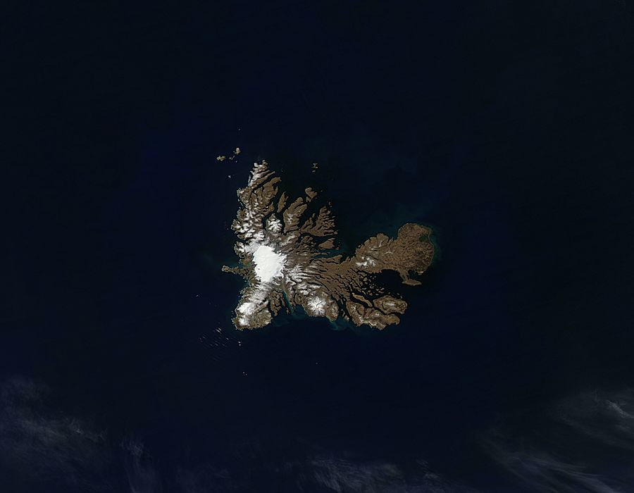
