
Images


May 20, 2016 - Yucatan Peninsula
 Tweet
Tweet
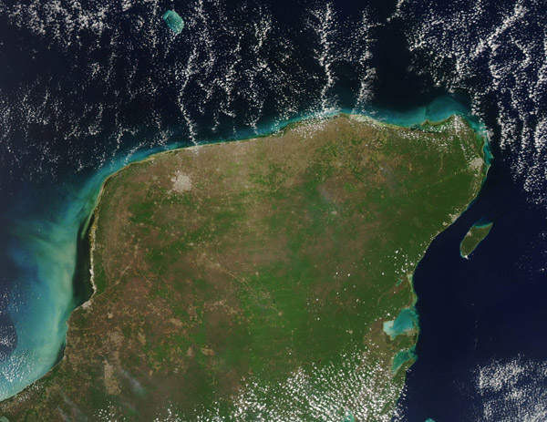
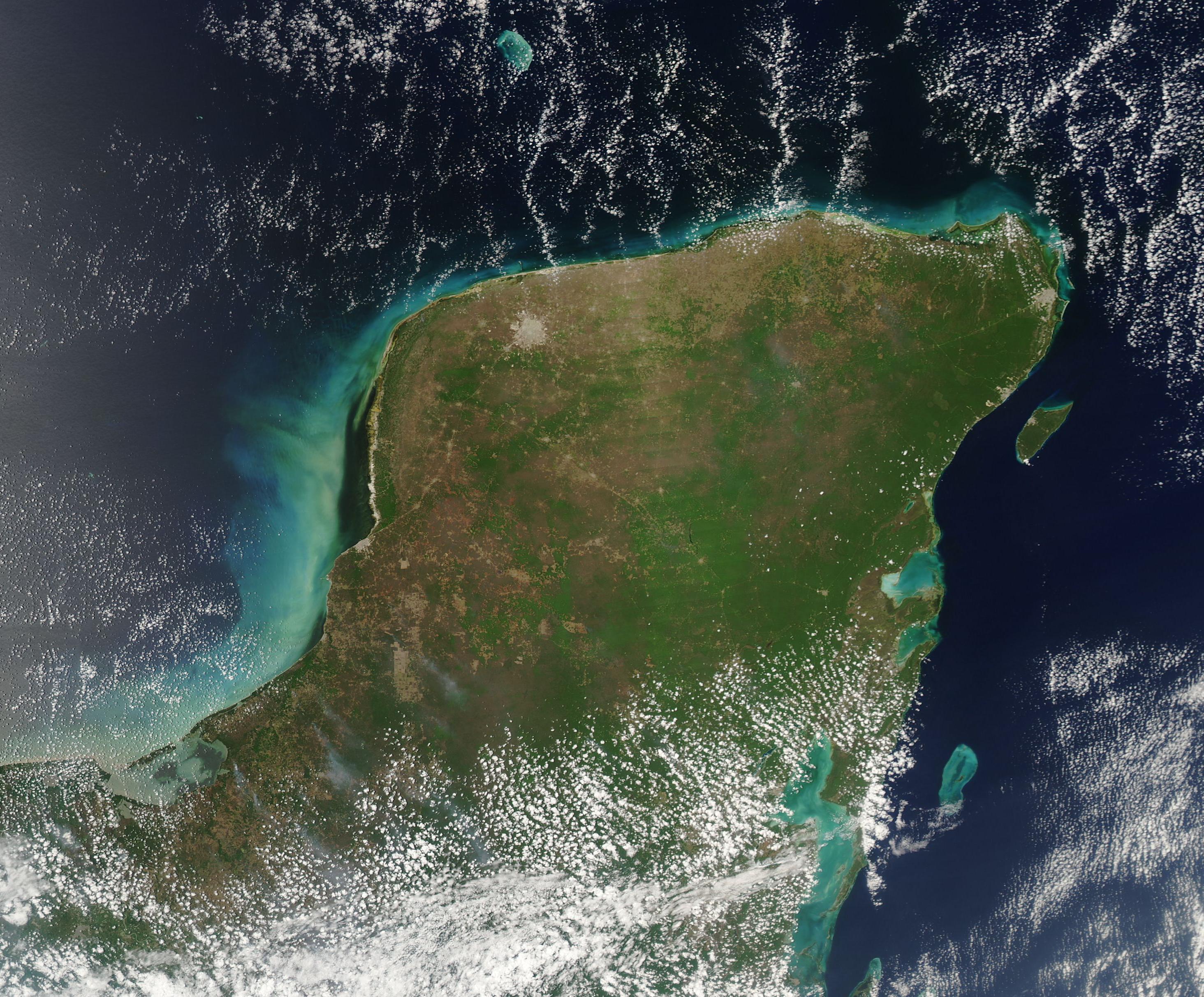
To the tourist, the Yucatan Peninsula evokes images of gorgeous beaches, superior snorkeling, and discovering Mayan ruins in a dense jungle. With such compelling attractions, it is no wonder that tourism is the region's primary economic driver. The cities of Merida, Cancun, and Tulum are especially popular destinations.
The Moderate Resolution Imaging Spectroradiometer (MODIS) aboard NASA's Aqua satellite captured this true-color image of the Yucatan Peninsula on May 5, 2016.
The cities and man-made structures are colored in gray, and stand out sharply from the green and tan natural background, especially in the northwest where vegetation is sparse due to dry, arid conditions. The city of Merida, the largest city in the region and the capital of the Mexican state of Yucatan, appears as a large gray circle in the northwest. Roads appear as thin gray lines and towns that have grown up along the roads are small circles. Where the vegetation is lush and dense the roads are hidden by the taller jungle canopy.
Image Facts
Satellite:
Aqua
Date Acquired: 5/5/2016
Resolutions:
1km (146.7 KB), 500m (403.4 KB), 250m (1.2 MB)
Bands Used: 1,4,3
Image Credit:
Jeff Schmaltz, MODIS Land Rapid Response Team, NASA GSFC
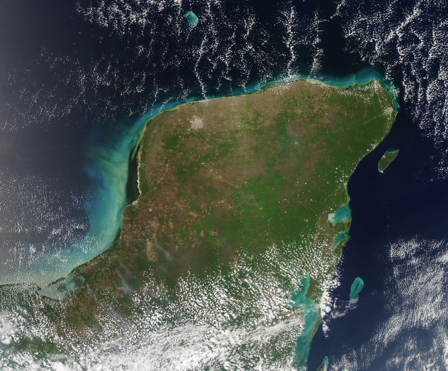
