
Images


December 12, 2018 - Lake Winnipeg
 Tweet
Tweet
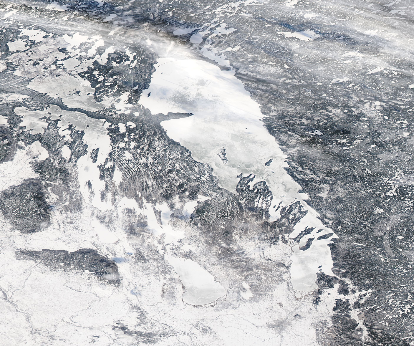
By early December 2018 ice completely covered Lake Winnipeg in Canada’s Manitoba Province.
The Moderate Resolution Imaging Spectroradiometer (MODIS) on board NASA’s Aqua satellite acquired a true-color image of the frozen scene on December 9. Lake Winnipegosis sits to the west of the larger Lake Winnipeg and also appears completely covered in white ice, with no open water. A light covering of snow dusts the surrounding wetlands, which give way to the boreal forest in the north and, to the south, the Great Plains.
Lake Winnipeg is shallow, with an average depth of only 9.7 meters (31.8 feet) in the south basin and 13.3 meters (43.6 feet) in the north basin. The shallow depths allows for the water to warm up quickly in the long days of summer, and the warmth helps support the high productivity of the lake. There are more than 60 species of fish in the lake, many of high commercial and recreational value, including the ancient sturgeon, a species known to live up to 150 years. Ice fishing for food, fun and for the thrill of catching trophy fish, especially massive walleye, drives a brisk winter tourism business on Lake Winnipeg.
Image Facts
Satellite:
Aqua
Date Acquired: 12/9/2018
Resolutions:
1km (501.7 KB), 500m (1.3 MB), 250m (1.3 MB)
Bands Used: 1,4,3
Image Credit:
MODIS Land Rapid Response Team, NASA GSFC
