
Images


August 15, 2019 - Yamdena
 Tweet
Tweet
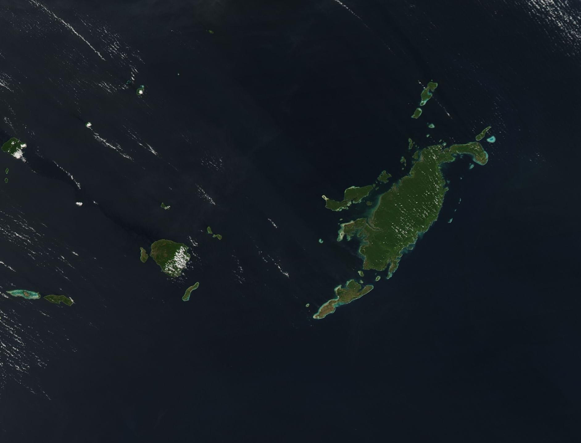
The island of Yamdena sits between the Banda Sea in the west and the Arafura Sea in the east. The largest island of the Tanimbar Islands of Indonesia, Yamdena is graced with thickly wooded hills on the eastern side and a lower, flatter, sometimes swampy western coast. Sailors—and cruise ships—find safe harbor in the town of Saumlaki located on the southern coast. Indonesia is the world’s largest island country, with more than 17,000 islands located within the territory of the Republic of Indonesia.
On August 12, 2019, the Moderate Resolution Imaging Spectroradiometer (MODIS) on board NASA’s Aqua satellite acquired a true-color image of Yamdena Island.
Image Facts
Satellite:
Aqua
Date Acquired: 8/12/2019
Resolutions:
1km (68.1 KB), 500m (167 KB), 250m (93.5 KB)
Bands Used: 1,4,3
Image Credit:
MODIS Land Rapid Response Team, NASA GSFC
