
Images


June 21, 2015 - Snow covered peaks of the Cascade Range
 Tweet
Tweet
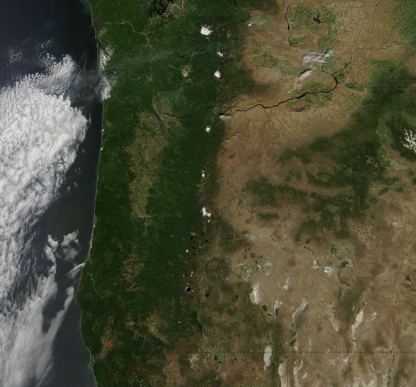
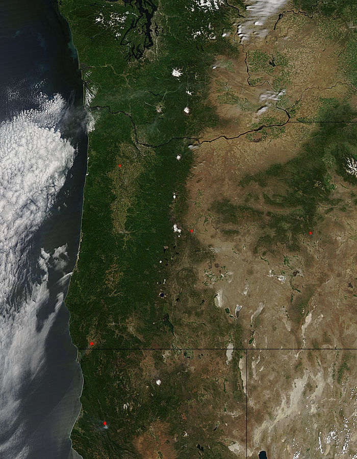
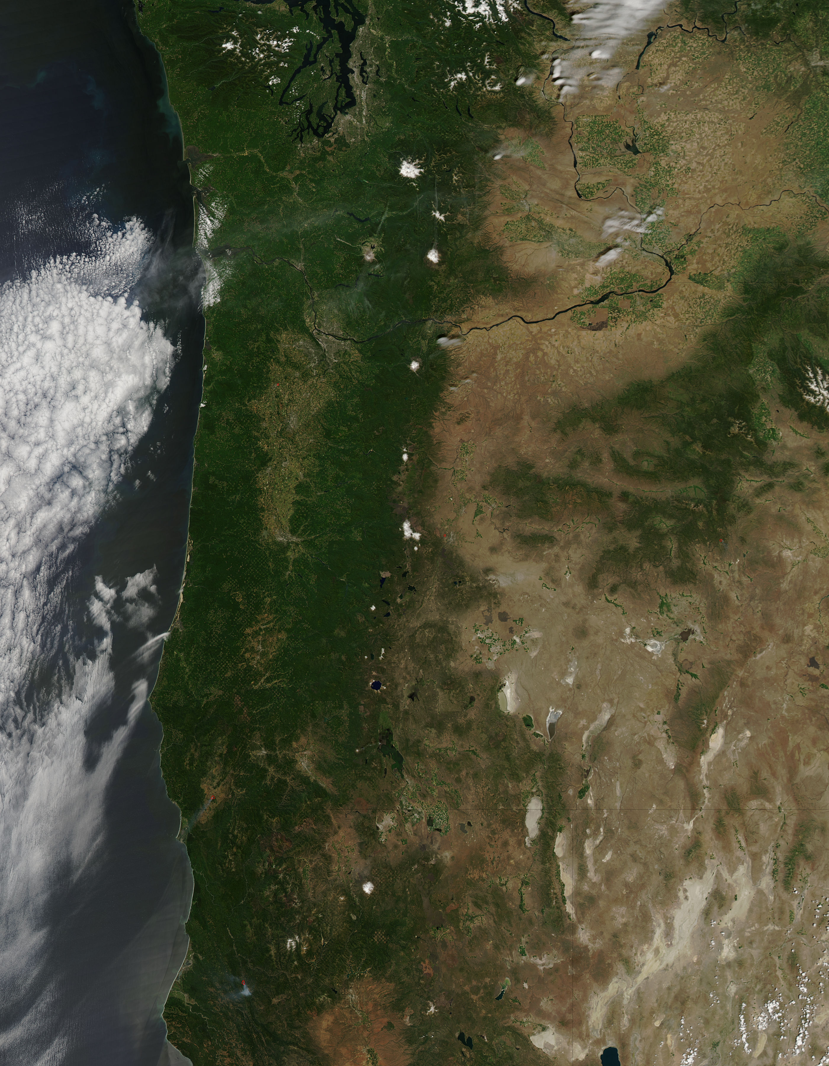
The Cascade Range is known for spectacular high peaks which glisten with snow year-round. Increasingly severe drought in Oregon and Washington has, however, diminished the snowfields visible from space in late spring, 2015.
The Moderate Resolution Imaging Spectroradiometer (MODIS) aboard NASA’s Aqua satellite captured this true-color image on June 11 as it passed over the Cascade Range. Although the mountain range remains green with vegetation, only the tops of a few of the highest peaks are snow-capped.
Earlier MODIS images also show the waning snow. On May 17, 2015 NASA’s Earth Observatory website published a comparison of the region, with one true-color image acquired in May of 2014 and one in May of 2015. To see this comparison, go to http://earthobservatory.nasa.gov/IOTD/view.php?id=85887
Image Facts
Satellite:
Aqua
Date Acquired: 6/11/2015
Resolutions:
1km (201.1 KB), 500m (782.9 KB), 250m (1.9 MB)
Bands Used: 1,4,3
Image Credit:
Jeff Schmaltz, MODIS Land Rapid Response Team, NASA GSFC
