
Images


July 21, 2016 - Sea ice near South Georgia Island
 Tweet
Tweet
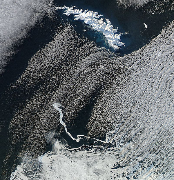
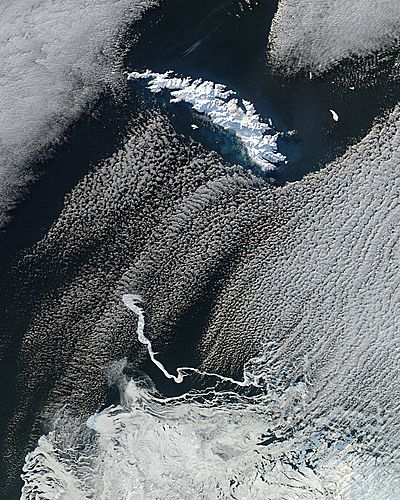
On July 12, 2016, the Moderate Resolution Imaging Spectroradiometer (MODIS) aboard NASA's Aqua satellite flew over the South Atlantic Ocean and captured a beautiful image of snow, clouds, and sea ice on and around South Georgia Island.
South Georgia Island is a remote island found about 1,336 mi (2,150 km) east of the most southerly point in South America roughly 1,000 mi (1,600 km) north of Antarctica. In the winter (July through September) snow covers the entire island and, in summer, about 75% of the land remains snow-covered. Strong westerly winds sweep the islands almost continuously, and precipitation falls frequently in the region, making clear satellite images of the South Georgia region difficult to acquire.
In this image, the clouds have parted directly over South Georgia Island, which appears bright white on a deep blue backdrop of the waters of the South Atlantic Ocean. Banks of clouds appear lighter white, with a very light blue or gray tint. In the southeast, bright white sea ice covers the ocean water, with a beautiful, and delicate-appearing, filigree stretching towards South Georgia Island.
Image Facts
Satellite:
Aqua
Date Acquired: 7/12/2016
Resolutions:
1km (84 KB), 500m (323.7 KB), 250m (787 KB)
Bands Used: 1,4,3
Image Credit:
Jeff Schmaltz, MODIS Land Rapid Response Team, NASA GSFC
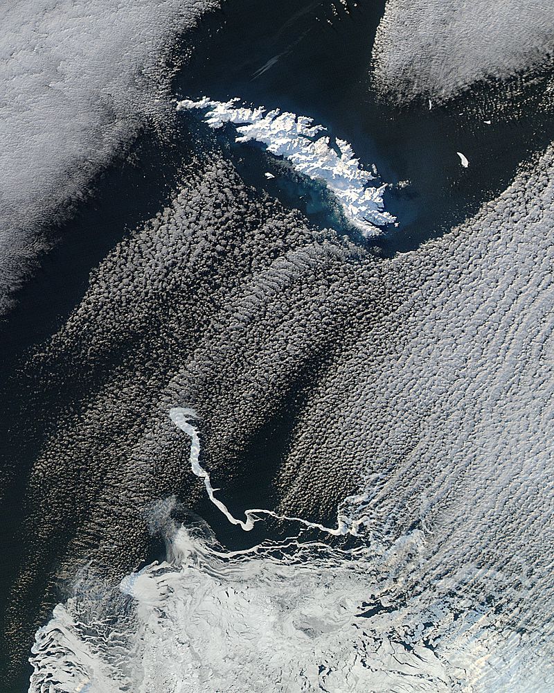
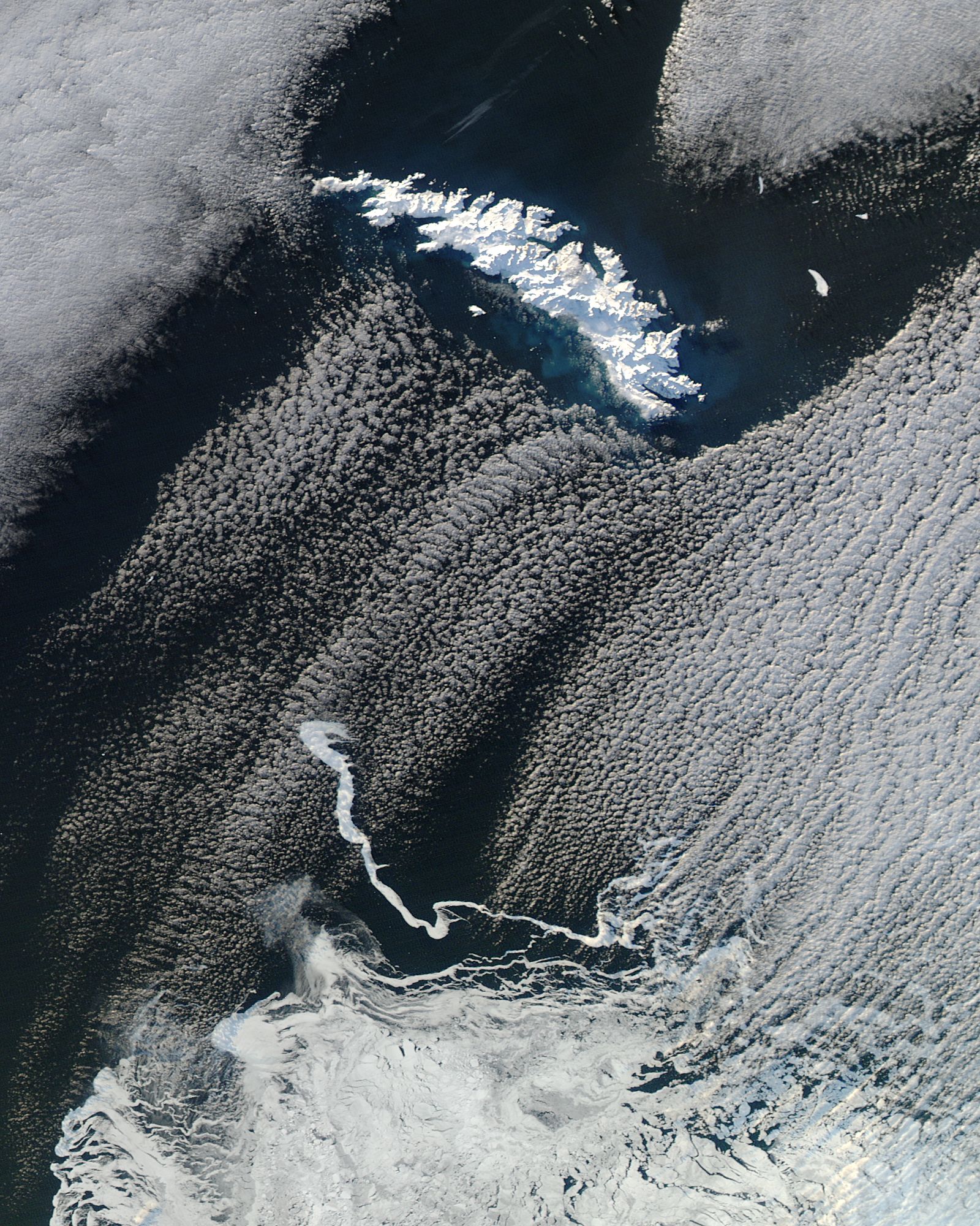
