
Images


June 18, 2018 - Hispaniola and Turks and Caicos
 Tweet
Tweet
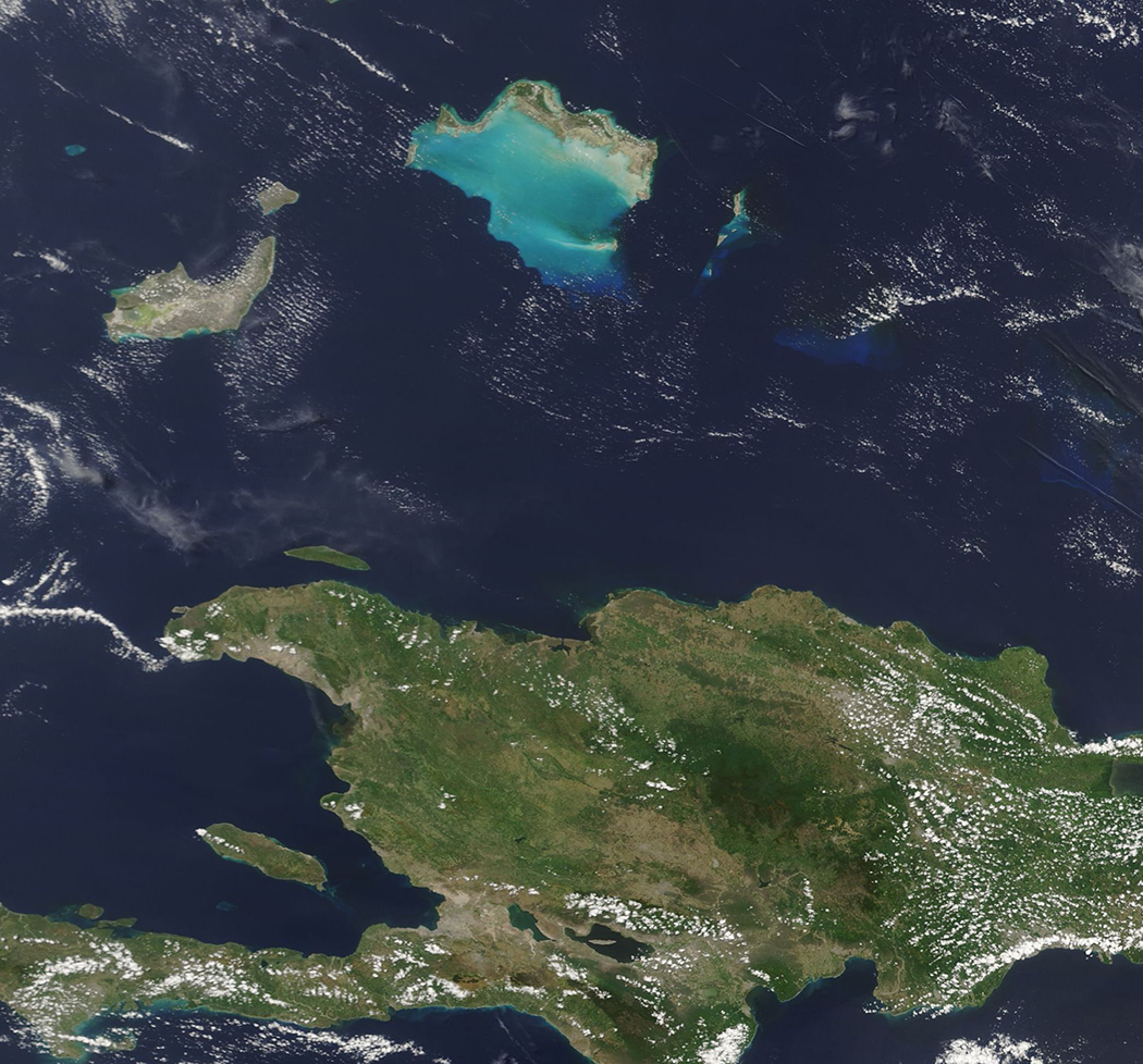
In the blue waters of the North Atlantic Ocean, north of the large island of Hispaniola, lies a cluster of jewel-like islands. Known as the Turks and Caicos Islands, the group contains more than 40 islands and cays and draw more than a million tourists each year – even though only five of the larger islands and a few of the smaller islands are inhabited. Each of the low-lying islands sit atop undersea pillars of coral and many are surrounded by spectacular coral reefs.
On June 15, 2018, the Moderate Resolution Imaging Spectroradiometer (MODIS) aboard NASA’s Terra satellite acquired a true-color image of part of the Turks and Caicos Islands along with a portion of Hispaniola.
Bright peacock blue marks a lagoon-like reef system around islands in the Caicos group including, from west to east, Providenciales, North Caicos, Grand Caicos and East Caicos. Further east, brilliant blue also rings Grand Turk Island and the smaller Salt Cay (in the south). In the west the largest island is Inagua Islands and the smaller one in the north is Little Inagua – both part of the Bahamas. Hispaniola lies in the south. The west of this large island belongs to Haiti and the eastern section belongs to the Dominican Republic.
Image Facts
Satellite:
Terra
Date Acquired: 6/15/2018
Resolutions:
1km (235.6 KB), 500m (622.3 KB), 250m (480.9 KB)
Bands Used: 1,4,3
Image Credit:
Jeff Schmaltz, MODIS Land Rapid Response Team, NASA GSFC
