
Images


June 25, 2018 - Canada
 Tweet
Tweet
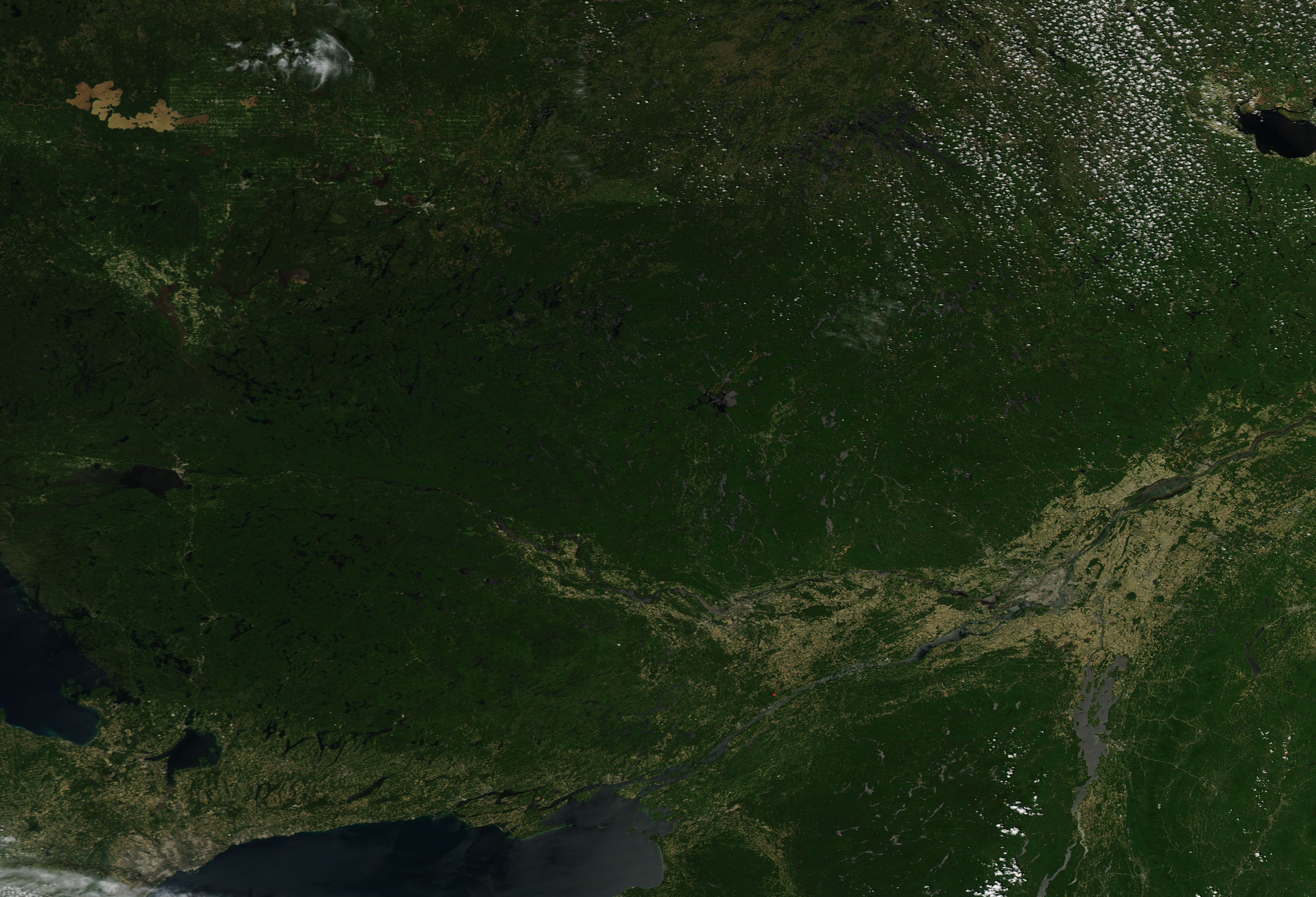
On June 21, 2018, NASA’s Aqua satellite flew over southeastern Canada, allowing the Moderate Resolution Imaging Spectroradiometer (MODIS) on board to acquire a true-color image of the region.
Most of the land seen in this image lies in Quebec, Canada’s largest and second-most populous province. The deep green that spreads expansively across the province marks forest – the heart of Quebec’s economy, history, and recreation. The forests of Quebec make up about 20 percent of Canada’s forests and 2 percent of all the forests on Earth. While about 70 percent is used for timber harvest, a large part of the forest remains in preservation or management for wildlife and/or recreation.
Juxtaposed to the nearly-wild forestland lies the city of Montreal. The largest city in the province and the largest inland port in the world, Montreal sits at the confluence of the Saint Lawrence and Ottawa Rivers. The Saint Lawrence River originates from Lake Ontario southwest of Montreal and flows northeastward to the Gulf of Saint Lawrence; the Ottawa River rises from western Quebec and flows generally southeastward.
Image Facts
Satellite:
Aqua
Date Acquired: 6/21/2018
Resolutions:
1km (652.2 KB), 500m (1.8 MB), 250m (1.5 MB)
Bands Used: 1,4,3
Image Credit:
Jeff Schmaltz, MODIS Land Rapid Response Team, NASA GSFC
