
Images


October 22, 2019 - Tropical Cyclone Neoguri over Japan
 Tweet
Tweet
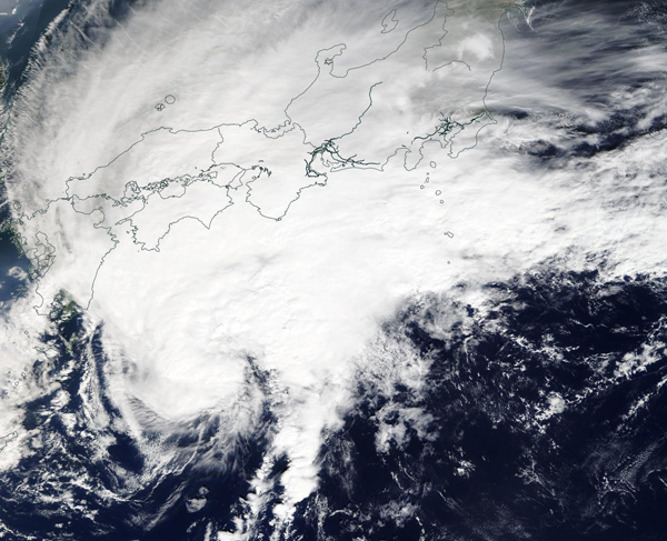
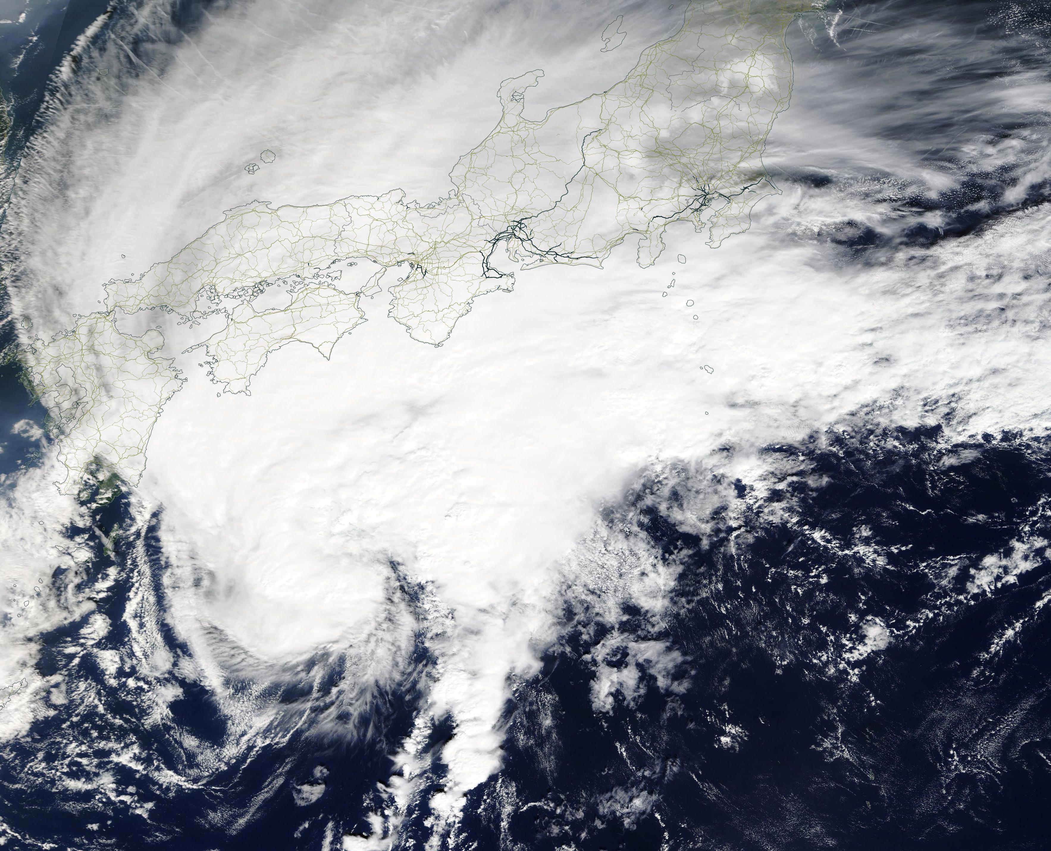
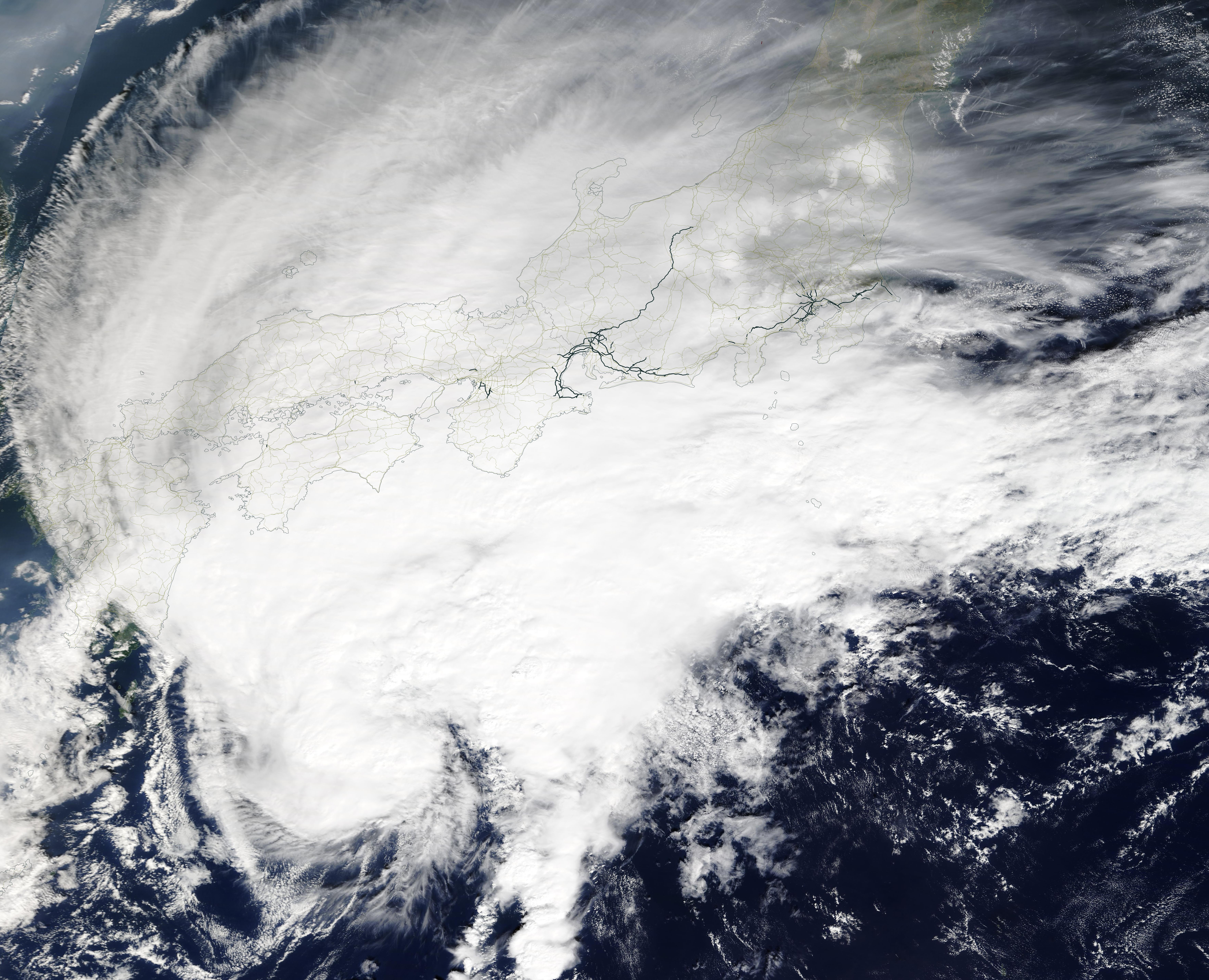
On October 21, 2019 the Moderate Imaging Spectroradiometer (MODIS) on board NASA’s Terra satellite provided a true-color image of Tropical Cyclone Neoguri over Japan. The large storm appeared elongated, with the bulk of the clouds and convection pushed to the northeast of center, thanks to southwesterly wind shear.
At 11:00 a.m. EDT (1500 UTC) the Joint Typhoon Warning Center (JTWC) reported that Neoguri was centered near latitude 31.4 degrees north and longitude 125.6 degrees east or about 311 miles (500.5 km) southwest of Yokosuka, Japan. Typhoon Neoguri was moving to the northeast and had maximum sustained winds near 46 mph (74 km/h). The storm is forecast to continue tracking northeastward as an extratropical system, tracking south of Tokyo on October 22 and then east of Honshu while maintaining gale-force winds.
The Japan Meteorological Agency (JMA) has issued a red warning for heavy rain over Mie Prefecture on Honshu Island and heavy rain and strong winds will affect most of Honshu from October 21 through October 23. This area was struck by Typhoon Hagibis on October 11-12, resulting in widespread damage and 74 deaths. That flooding has left the soils saturated and at higher risk of landslide, even though the winds of Typhoon Neoguri are not expected to bring severe damage.
Image Facts
Satellite:
Terra
Date Acquired: 10/21/2019
Resolutions:
1km (379.2 KB), 500m (1.3 MB), 250m (3.5 MB)
Bands Used: 1,4,3
Image Credit:
MODIS Land Rapid Response Team, NASA GSFC
