
Images


April 3, 2020 - Tropical Cyclone Irondro
 Tweet
Tweet
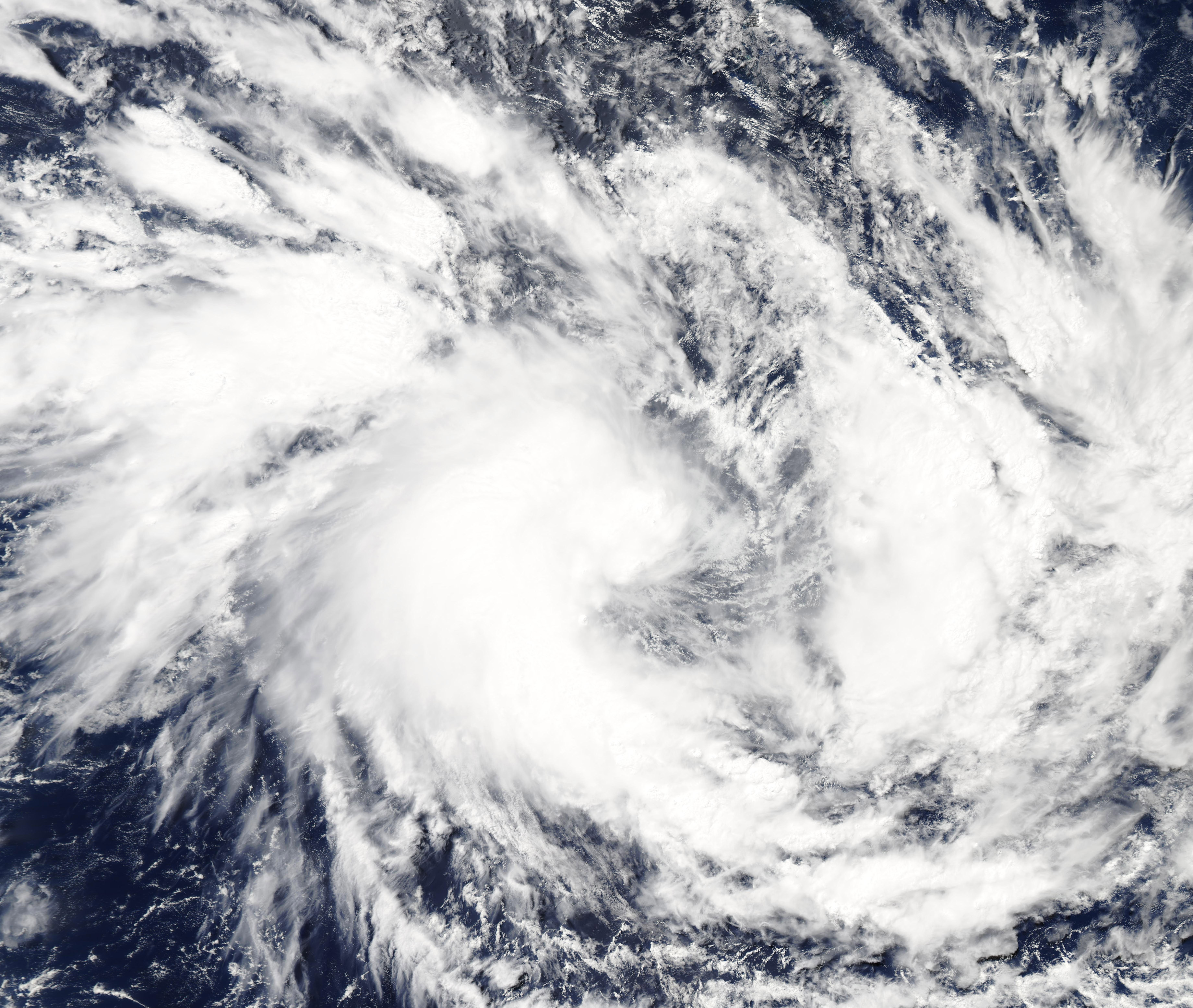
On April 2, 2020, the Moderate Resolution Imaging Spectroradiometer (MODIS) on board NASA’s Aqua satellite acquired a true-color image of newly formed Tropical Cyclone Irondro. The storm formed on April 1 from a low-pressure system that was making its way southward in the Indian Ocean. At the time this image was acquired, Irondro sported a cloud-filled center of circulation with large, loosely organized convective bands as it began to strengthen.
At 5:00 a.m. EDT (0900 UTC) on April 2, the Joint Typhoon Warning Center (JTWC) noted that the center of Tropical Cyclone Irondro was located near latitude 13.5 degrees south and longitude 69.9 degrees east with the center about 401 nautical miles south-southwest of Diego Garcia. Maximum sustained winds were near 40 mph (65 km/h).
The JTWC expects the storm will intensify to 86 mph (139 km/h) in a couple of days before turning east-southeast and becoming extra-tropical.
Image Facts
Satellite:
Aqua
Date Acquired: 4/2/2020
Resolutions:
1km (592.6 KB), 500m (1.7 MB), 250m (3.3 MB)
Bands Used: 1,4,3
Image Credit:
MODIS Land Rapid Response Team, NASA GSFC
