
Images


October 22, 2020 - Dust Storm in Chad
 Tweet
Tweet
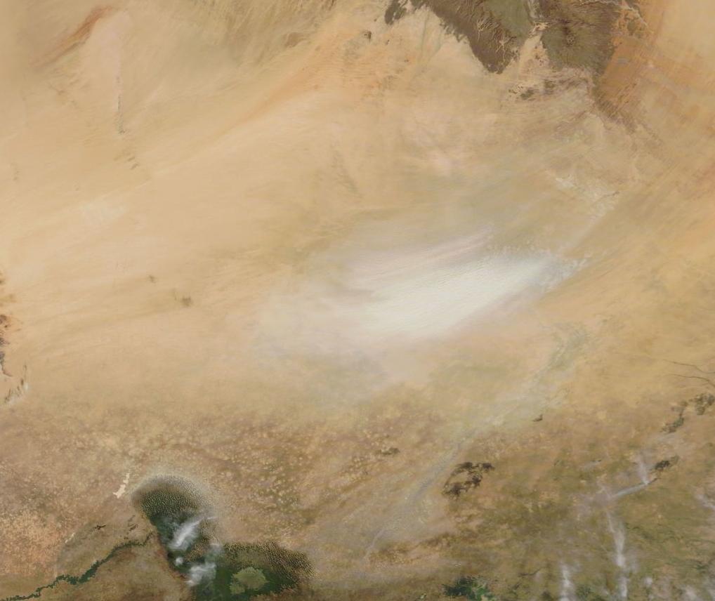
On October 21, 2020, the Moderate Resolution Imaging Spectroradiometer (MODIS) on NASA’s Terra satellite acquired a true-color image of pale plumes of dust pouring from the Bodele Depression and blowing to the southwest.
Located south of the Tibesti Mountains and east of the Ennedi Mountains, the Bodele Depression is often raked by strong wind as air masses moving to the southwest strike the mountain ranges and are squeezed between them. Once aloft, the dust often continues traveling across neighboring countries, and sometimes all the way across the Atlantic to fertilize the Amazon Rainforest in South America.
Once serving as part of the floor for a much larger Lake Chad, today the Bodele Depression sits at the southern edge of the Sahara Desert. The modern remnants of Lake Chad can be seen near the bottom of the image. While the Bodele Depression provides the source of frequent dust storms, Lake Chad remains the most significant water body in the Sahel region of Chad, housing most of the population of the country. Both were part of the former inland sea known as Mega-Chad. Sometime before 5000 B.C., Lake Mega-Chad was the largest of four paleolakes that existed in the Sahara region during the African Humid Period. It is estimated to have covered about 400,000 sq km (150,000 sq mi), roughly the size of today’s Caspian Sea.
Image Facts
Satellite:
Terra
Date Acquired: 10/21/2020
Resolutions:
1km (67.4 KB), 500m (234 KB), 250m (742.8 KB)
Bands Used: 1,4,3
Image Credit:
MODIS Land Rapid Response Team, NASA GSFC
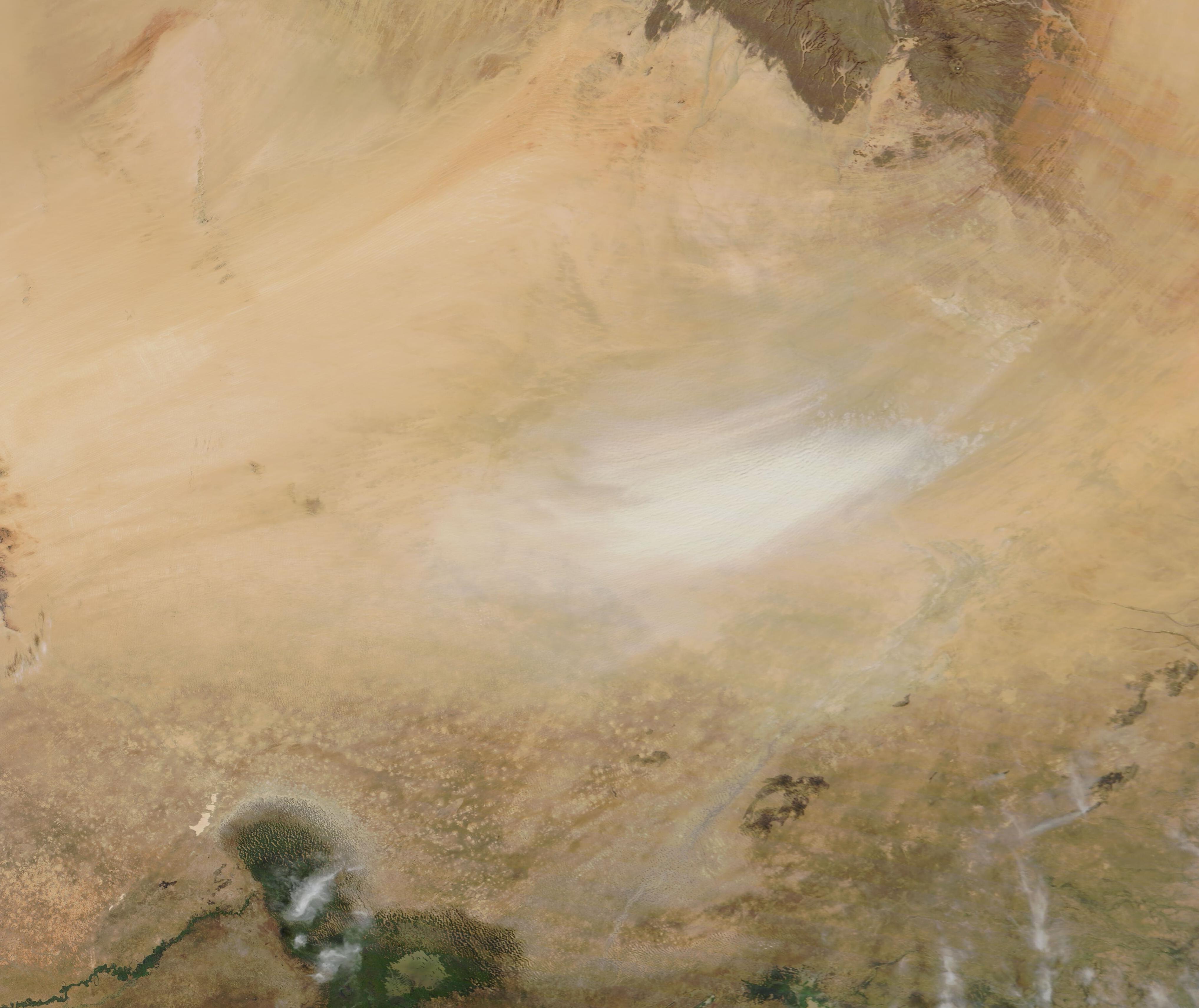
