
Images


May 26, 2017 - Pacific Northwest
 Tweet
Tweet
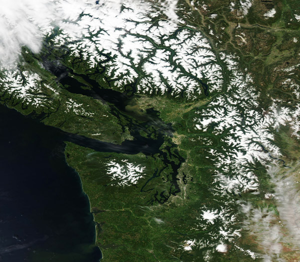
Snow-capped mountains and the brilliant greens of late spring colored the Pacific Northwest in late May 2017. The Moderate Resolution Imaging Spectroradiometer (MODIS) acquired this true-color image on May 22.
The land in this image belongs, from north to south: British Columbia, Canada (north), and the states of Washington and Oregon in the United States. Vancouver Island, British Columbia, in the northwest, is graced with snow on the peaks of the aptly named Vancouver Island Ranges. In Canada, snow also lies on the Coast Range. In the United States snow caps both the Cascade Mountains (inland) and the Olympic Mountains. The latter is found near the coast in Washington. The Columbia River can be seen coursing across the United States, forming a border between Washington and Oregon.
Image Facts
Satellite:
Aqua
Date Acquired: 5/22/2017
Resolutions:
1km (427.1 KB), 500m (1.1 MB), 250m (995.1 KB)
Bands Used: 1,4,3
Image Credit:
Jeff Schmaltz, MODIS Land Rapid Response Team, NASA GSFC
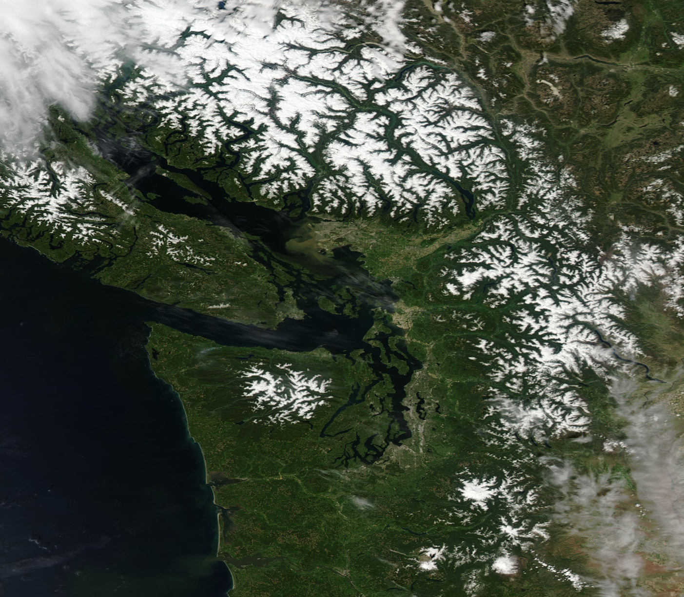
