
Images


November 25, 2017 - Dust storm in the Gobi Desert (morning overpass)
 Tweet
Tweet
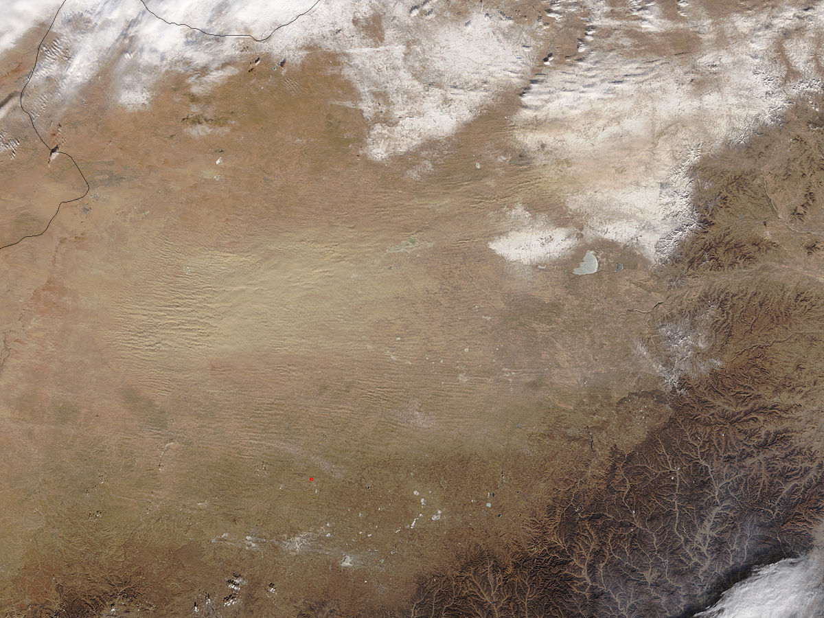
Strong winds blew massive amounts of dust across the Gobi Desert in late November, 2017. The Moderate Resolution Imaging Spectroradiometer (MODIS) aboard NASA’s Terra satellite acquired a true-color image of the sheets of shifting sand on November 21.
The Gobi Desert stretches over parts of southern Mongolia and northern China, and is one of the most prolific-dust producing regions in the world. Both sand seas and impermanent lakes occur along the China-Mongolia border, adding to the desert dust. Sometimes point-sources are visible from space, but this dust storm appears to be quite wide, so that a single source is not likely. The dust rises above the cloud in the northeast.
Image Facts
Satellite:
Terra
Date Acquired: 11/21/2017
Resolutions:
1km (73.3 KB), 500m (278.3 KB), 250m (751.9 KB)
Bands Used: 1,4,3
Image Credit:
Jeff Schmaltz, MODIS Land Rapid Response Team, NASA GSFC
