
Images


March 2, 2019 - Hungary
 Tweet
Tweet
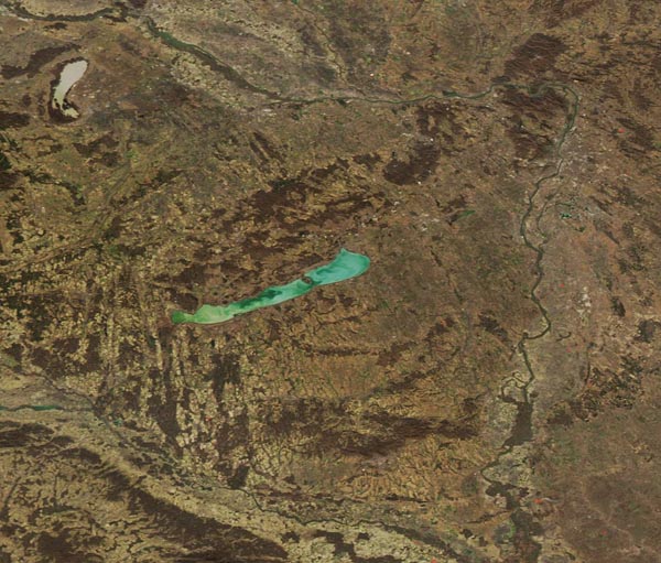
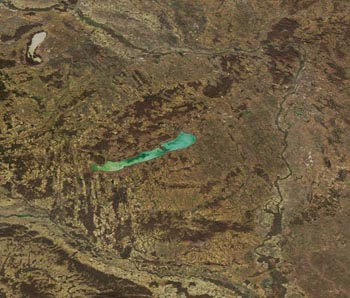
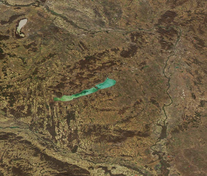
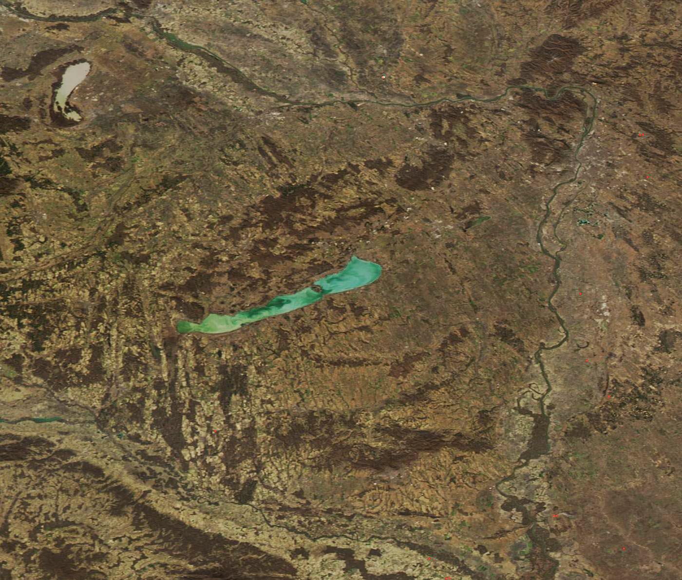
NASA’s Aqua satellite passed over Hungary on February 28, 2019, allowing the Moderate Resolution Imaging Spectroradiometer (MODIS) on board to acquire a striking late-winter scene of the country.
At the center of the image is Lake Balaton, with its waters stunningly colored in milky-green swirls. The largest lake in Central Europe, Balaton covers approximately 229 square miles (592 square km) but is very shallow, with a mean depth of just 10.8 feet (3.3 meters). Due to the shallow depth and frequent high winds, as well as the inflow of the Zala River in the far southwest of the lake, the waters of Balaton remain permanently mixed—and the sediment remains perpetually suspended.
Image Facts
Satellite:
Aqua
Date Acquired: 2/28/2019
Resolutions:
1km (52 KB), 500m (134.4 KB), 250m (283 KB)
Bands Used: 1,4,3
Image Credit:
MODIS Land Rapid Response Team, NASA GSFC
