
Images


October 6, 2019 - Central Algeria
 Tweet
Tweet
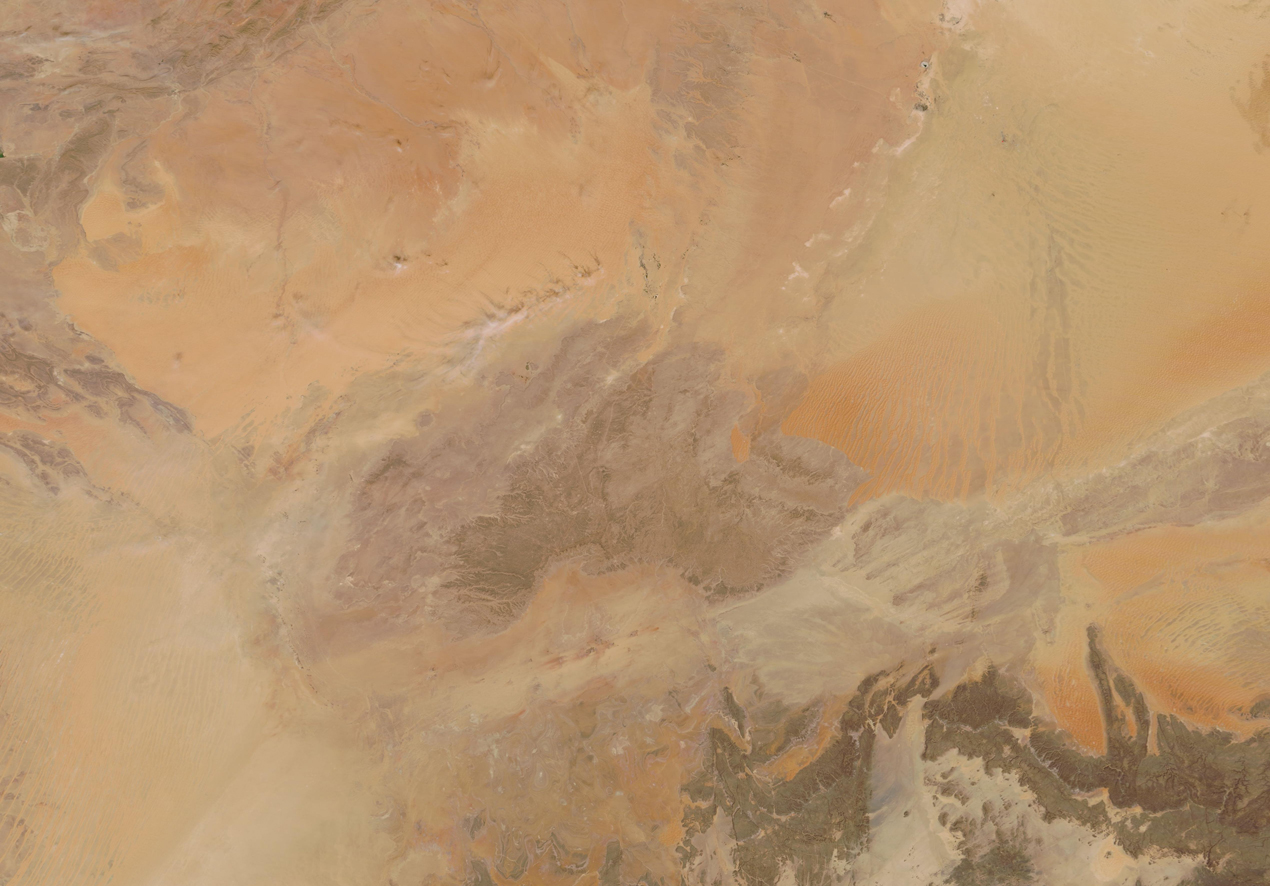
On October 6, 2019, NASA’s Terra satellite flew over Algeria, allowing the Moderate Resolution Imaging Spectroradiometer (MODIS) on board to acquire a stunning, true-color image of orange sands and tan rocky terrain that color the countryside.
Algeria, the largest country in northern Africa, sits between Morocco and Tunisia. It is graced with a long coastline along the Mediterranean Sea, but almost four-fifths of the country is arid desert. Along the coast, the land is hilly to mountainous and a large crescent of fertile land, called the Tell, lies just south of the coast. Most of the cities and agriculture are concentrated in the Tell. Further south lies the hot, arid, sandy Sahara Desert which encompasses most of the country. The far south of the country is mountainous, with the dark, rocky, heights of the Ahaggar (Hoggar) rising out of the orange and tan sands.
Image Facts
Satellite:
Terra
Date Acquired: 10/6/2019
Resolutions:
1km (649.7 KB), 500m (1.6 MB), 250m (999 KB)
Bands Used: 1,4,3
Image Credit:
MODIS Land Rapid Response Team, NASA GSFC
