
Images


April 3, 2021 - Prescribed Burns across Arkansas and Oklahoma
 Tweet
Tweet
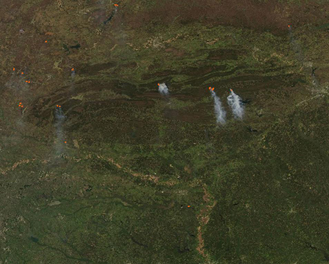
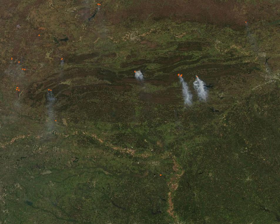
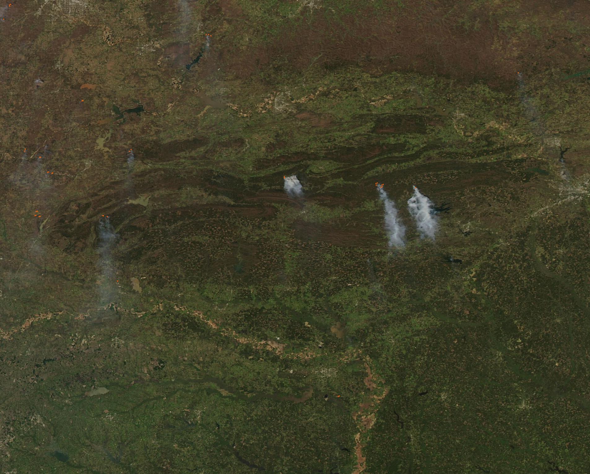
Multiple fires were burning in the Ouachita Mountains of Arkansas and Oklahoma in the opening days of April 2021. The Moderate Resolution Imaging Spectroradiometer (MODIS) on board NASA’s Aqua satellite acquired a true-color image of the fires on April 1.
Each red “hot spot” marks an area where the thermal bands on the MODIS instrument detected high temperatures. When accompanied by typical smoke—as in most of the hot spots in this image—they are diagnostic for actively burning fire. The heaviest smoke pours from three fires in Arkansas (east) and substantial smoke also rises from two hot spots in Oklahoma (west). Multiple smaller hot spots dot the landscape of Oklahoma.
While the MODIS instrument can easily detect fires, satellite imagery can’t disclose the cause of a fire. In these locations and in this time of year, fires are frequently set deliberately and managed to improve private or corporate farmland (agricultural fire) or public forests/grasslands (prescribed burns). Wildfires, which are accidental and unmanaged fires, may also occur in the spring but are more frequent in the summer and autumn or after a drought.
According to InciWeb Incident Information System, no large wildfires were reported in either Oklahoma or Arkansas on April 2. The Oklahoma Department of Forestry reported dry conditions but only minimal wildfire activity in a report published on-line on April 1. Only two notable fires burned in the southeast, including one escaped debris fire and one incendiary. There were 2 large wildfires reported in the state and one was 80 percent contained and the other was 100 percent contained. On the other hand, Oklahoma reported prescribed fires treating 82 acres. On April 2, the Arkansas Forestry Commission noted several dozen active prescribed burns across the state.
Given the lack of reporting of large or widespread wildfire activity and the confirmation active prescribed burning, it is relatively safe to assume that the fires visible in this image are prescribed burns. According to the Ouachita National Forest “Since the beginning of time, fires have burned in the forests of Arkansas and Oklahoma, playing a vital role in keeping the land healthy. Fire reduces dead vegetation, replenishes nutrients in the soil, stimulates new growth, and maintains biological diversity.”
Image Facts
Satellite:
Aqua
Date Acquired: 4/1/2021
Resolutions:
1km (164.2 KB), 500m (111.5 KB), 250m (416.3 KB)
Bands Used: 1,4,3
Image Credit:
MODIS Land Rapid Response Team, NASA GSFC
