
MODIS Cloud Mask
Overview
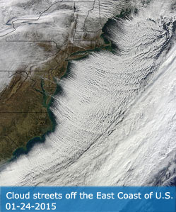
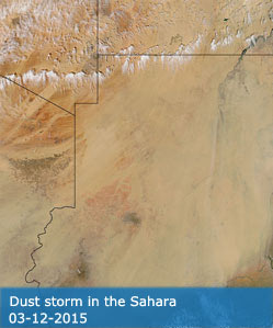
The MODIS Cloud Mask product is a Level 2 product generated at 1-km and 250-m (at nadir) spatial resolutions. The algorithm employs a series of visible and infrared threshold and consistency tests to specify confidence that an unobstructed view of the Earth's surface is observed. An indication of shadows affecting the scene is also provided. The 250-m cloud-mask flags are based on the visible channel data only. Radiometrically accurate radiances are required, so holes in the Cloud Mask will appear wherever the input radiances are incomplete or of poor quality. There are two MODIS Cloud Mask data product files: MOD35_L2, containing data collected from the Terra platform; and MYD35_L2, containing data collected from the Aqua platform.
Product Information
• Product PI:
• Validated Stage: Stage 2
• ATBD
• DOI:
Ackerman S. A., and R. Frey, 2015: MODIS Atmosphere L2 Cloud Mask Product (35_L2). NASA MODIS Adaptive Processing System, Goddard Space Flight Center
http://dx.doi.org/10.5067/MODIS/MOD35_L2.006 (Terra)
http://dx.doi.org/10.5067/MODIS/MYD35_L2.006 (Aqua)
Product Details
MODIS Atmosphere Cloud Mask Data Products can be found at the LAADS Web website
.
