
Images


May 22, 2019 - The Xingu Indigenous Park, Mato Grosso, Brazil
 Tweet
Tweet
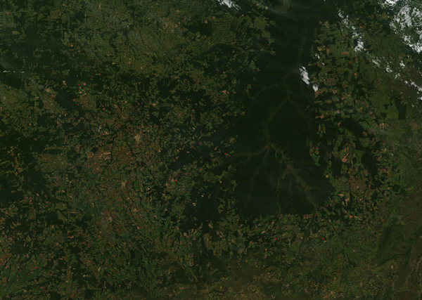
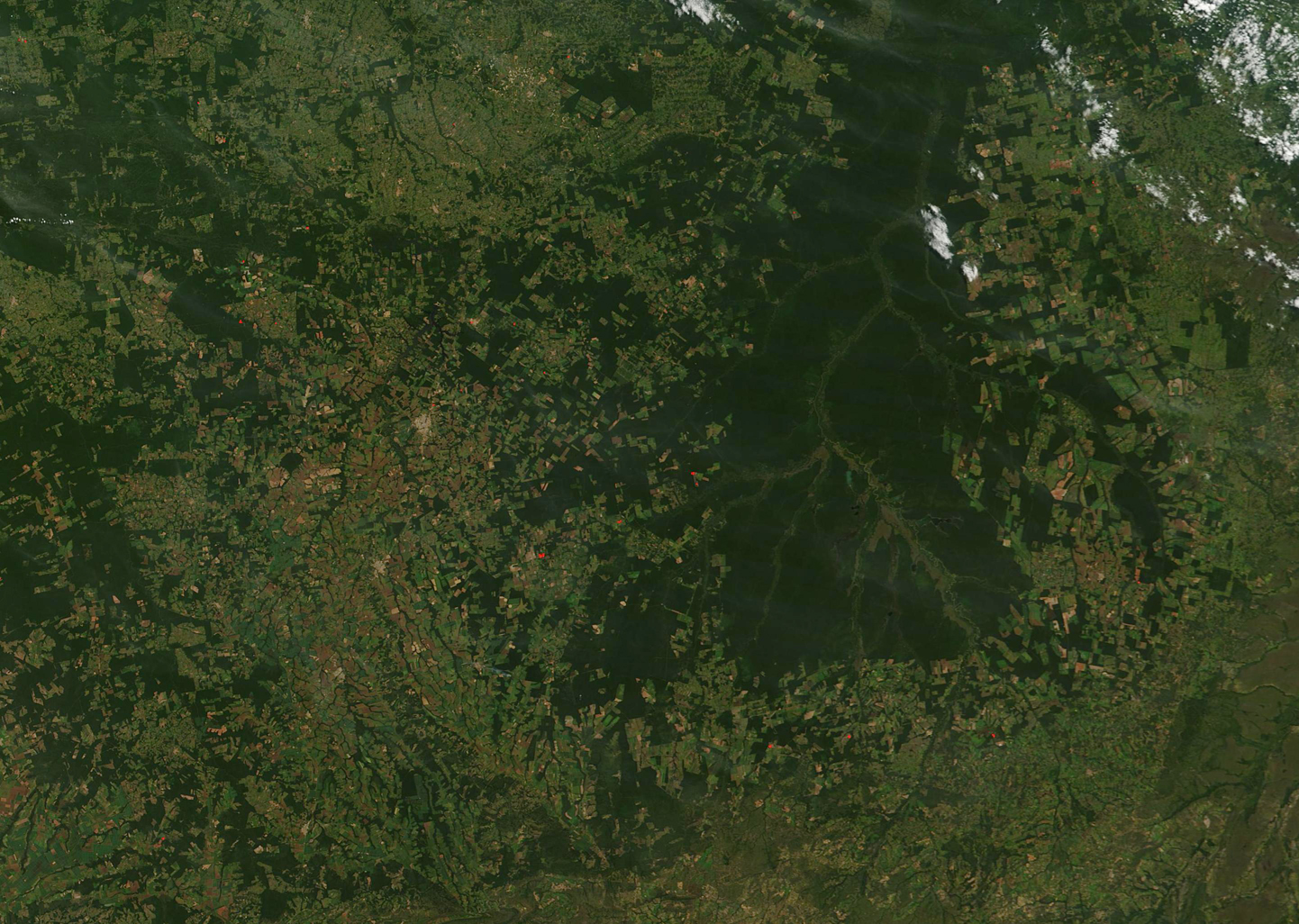
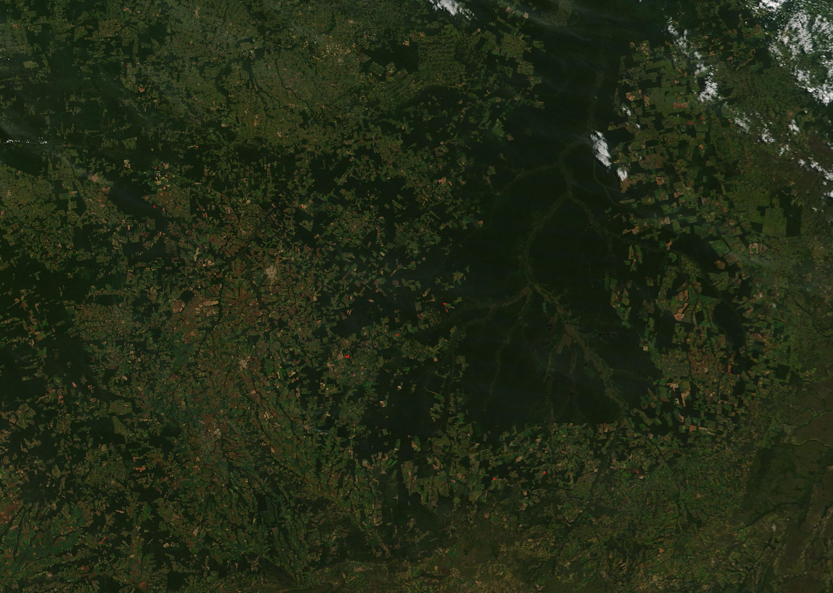
On the southern edge of the Amazon biome, in the northeast part of Mato Grosso state in Brazil, numerous rivers meet to form the large Xingu River. Approximately 2.64 million hectares of land surrounding that river were set aside in the early 1960s as a way to preserve biodiversity, maintain virgin rainforest and drier savanna and semi-deciduous forest, and the traditional way of life for several indigenous tribes. Today, the Xingu Indigenous Park is a bulwark against rampant deforestation which surrounds, and often attempts to encroach upon, the park.
On May 22, 2019, the Moderate Resolution Imaging Spectroradiometer (MODIS) on board NASA’s Terra satellite passed over Mato Grosso and acquired a true-color image that included the Xingu Indigenous Park and the surrounding countryside. The parkland appears dark green, marking thick vegetation and forest. Tan or slightly pink areas, which encompass most of the image, represent cleared land, most of which is being used for agriculture. Even though the agricultural burning season peaks in July-September, multiple fires were already burning in the region, creating a haze and streaks of smoke across the sky.
Image Facts
Satellite:
Terra
Date Acquired: 5/22/2019
Resolutions:
1km (399.1 KB), 500m (1 MB), 250m (1.8 MB)
Bands Used: 1,4,3
Image Credit:
MODIS Land Rapid Response Team, NASA GSFC
