
Images


May 22, 2016 - Tropical Cyclone One (01B) over India
 Tweet
Tweet
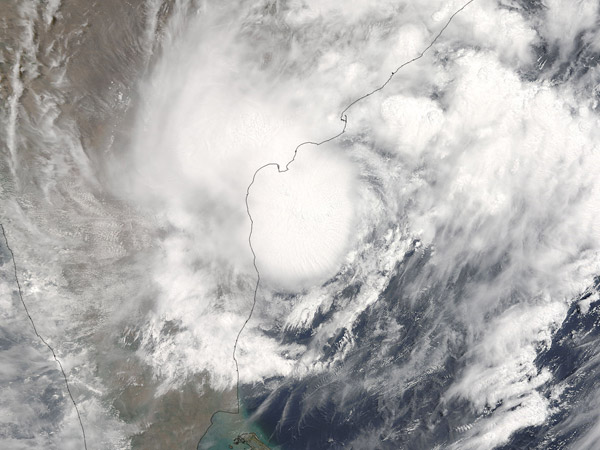
In May 2016 a highly destructive cyclone formed in the Bay of Bengal and slowly spun northwards off the coast of India to make landfall in Bangladesh, dumping heavy rains that triggered flooding and mudslides in Sri Lanka, Bangladesh, and parts of India.
On May 14 the storm began consolidating in the Bay of Bengal, forming into a tropical cyclone on May 17. Winds reached minimal tropical storm intensity on May 18 but had already dropped more than 15 in (38 cm) on Sri Lanka, the heaviest rain since 2010. The torrential rain triggered flash floods and mudslides. As of May 21, at least 64 people had been confirmed killed in Sri Lanka, with about 150 still missing.
After traveling parallel to the coast of India, Cyclone Roanu (01B) make landfall in Bangladesh on May 21, with winds reported as high as 88 km/h (54 mph). Again, although the winds were relatively weak, the rain brought flooding and landslides to the low-lying land. Initial damage reports confirmed at least 21 deaths, many involving people who were buried under uprooted trees, damaged houses, and landslides. The storm weakened to a tropical depression shortly after rainfall, but additional rain is predicted in the hardest hit areas of northeastern India and Bangladesh.
The Moderate Resolution Imaging Spectroradiometer (MODIS) aboard NASA's Terra satellite captured this true-color image on May 18, 2016. The storm was just completing formation to Tropical Cyclone status and was hanging over the southeastern coast of India, north of Sri Lanka.
Image Facts
Satellite:
Terra
Date Acquired: 5/19/2016
Resolutions:
1km (625.2 KB), 500m (2 MB), 250m (4.9 MB)
Bands Used: 1,4,3
Image Credit:
Jeff Schmaltz, MODIS Land Rapid Response Team, NASA GSFC
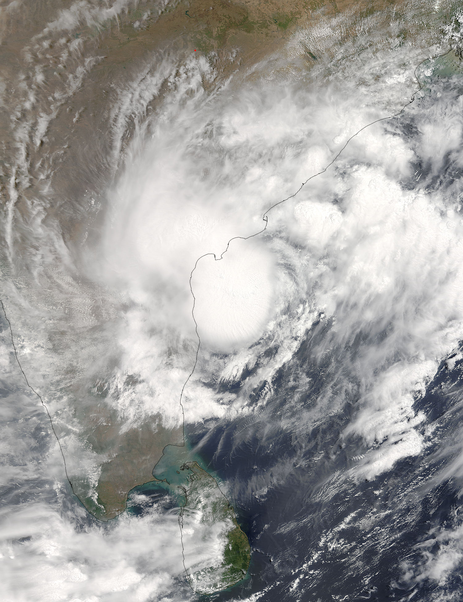
