
Images


January 6, 2024 - Fires in Cambodia
 Tweet
Tweet
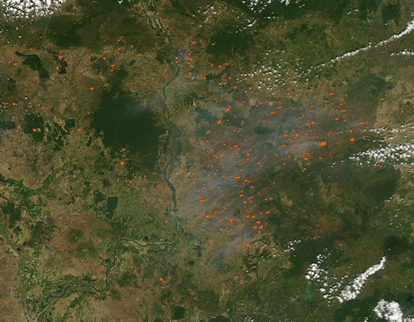
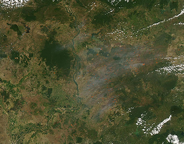
Dozens of fires burned across Cambodia on January 4, 2024, when the Moderate Resolution Imaging Spectroradiometer (MODIS) on NASA’s Aqua satellite acquired this true-color image. Areas where the thermal bands on the MODIS instrument detected high temperatures are marked in red. When combined with smoke as in this image, such “hot spots” are diagnostic for actively burning fire.
The distribution, location, and time of year strongly suggest that they are agricultural in origin. Fires used to manage agricultural land are common in Southeast Asia in winter, which is also the dry season. Farmers light fires for many reasons, including to freshen pastureland, clear land of remains of old crops, and prepare soils for new planting. In addition, both small farmers and agro-industrial large farming companies use fire to open new land, often burning stumps after tearing down forests. Deforestation typically occurs at the edges of forests and illegal deforestation has even been reported in some protected areas of Cambodia. In this image, forests appear dark green. In several areas, hot spots sit either at the edge or even within forests, strongly suggesting deforestation.
Image Facts
Satellite:
Aqua
Date Acquired: 1/4/2024
Resolutions:
1km (86.4 KB), 500m (220.8 KB), 250m (406.7 KB)
Bands Used: 1,4,3
Image Credit:
MODIS Land Rapid Response Team, NASA GSFC
