
Images


April 8, 2024 - Fading Ice on Lake Sakakawea
 Tweet
Tweet
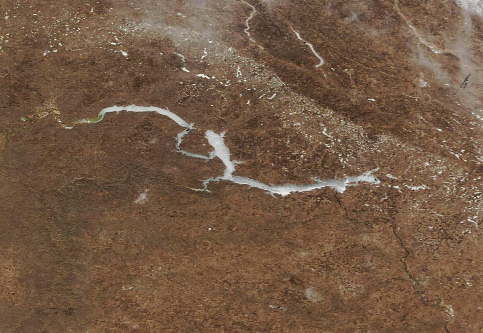
Winte.r retained its last grasp on North Dakota when the Moderate Resolution Imaging Spectroradiometer (MODIS) on NASA’s Terra satellite acquired this true-color image on April 3, 2024.
Although warming daytime highs had already wiped the landscape clear of snow by April 3, a layer of ice still covered Lake Sakakawea, an 180-mile-long impoundment of the Missouri River. Ice also capped various smaller lakes across the state. Just three days later, nighttime low temperatures in Minot, North Dakota, jumped from 25°F (-3.8°C) to 36°F (2.2°C) and daytime highs rose from 54°F (12.2°C) to 61°F (16.1°C). This warm-up triggered dramatic ice melt—by April 6, satellite images showed Lake Sakakawea completely ice-free.
The earliest “ice free” date on record for Sakakawea is March 27, 2012, just 69 days later than it was declared frozen on Jan 18, 2012.
Image Facts
Satellite:
Terra
Date Acquired: 4/3/2024
Resolutions:
1km (54.9 KB), 500m (142.2 KB), 250m (288.4 KB)
Bands Used: 1,4,3
Image Credit:
MODIS Land Rapid Response Team, NASA GSFC
