
Images


February 17, 2016 - Snow in the central United States
 Tweet
Tweet
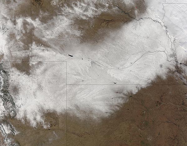
In early February 2016, a winter storm brought heavy snow and blizzard conditions to parts of the central United States. According to news reports, up to 20 in (50 cm) fell on parts of Nebraska and wind gusts reached 50 mph (80 km/h). Officials closed more than 200 miles of Interstate 80, which runs east-west across the state.
When the clouds cleared on February 10, 2016, the Moderate Resolution Imaging Spectroradiometer on NASA’s Terra satellite acquired this true-color image of the swath of snow that remained.
The heaviest swath of snow can be seen spread (from southwest to northeast) Colorado, Nebraska, and Iowa. Both South Dakota (north) and Wyoming (west) also sport snowy patches.
Image Facts
Satellite:
Terra
Date Acquired: 2/10/2016
Resolutions:
1km (192.4 KB), 500m (788.5 KB), 250m (1.9 MB)
Bands Used: 1,4,3
Image Credit:
Jeff Schmaltz, MODIS Land Rapid Response Team, NASA GSFC
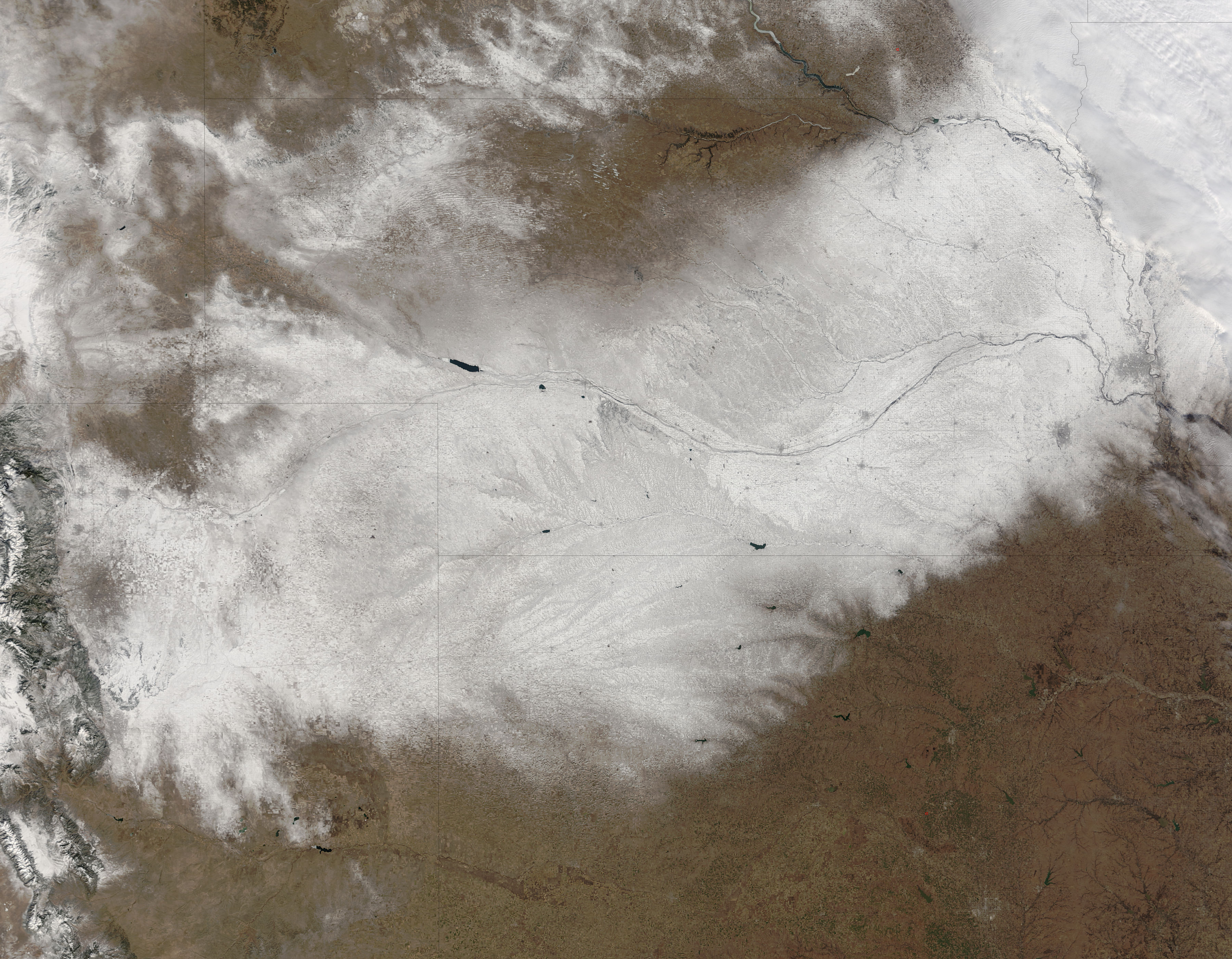
