
Images


March 6, 2019 - North Island, New Zealand
 Tweet
Tweet
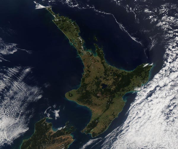
On March 3, 2019, the Moderate Resolution Imaging Spectroradiometer (MODIS) on board NASA’s Aqua satellite acquired a true-color image of late summer in North Island, New Zealand. Banks of cloud sit near, but not over the island, granting an unusual cloud-free view.
New Zealand sits in the South Pacific Ocean, roughly 1,250 mi (2,000 km) southeast of Australia. Wellington, the capital of New Zealand, graces the coastline on the southern tip of North Island, facing the Cook Strait towards South Island.
Geologists estimate that the New Zealand land mass separated from the ancient supercontinent of Gondwana around 80 million years ago. The single landmass has been called Ranqitata. Around 5 million years ago, the North and South Islands began to separate into the two islands. Because New Zealand has been separated from the rest of the world by large expanses of ocean and for such a long time, the islands allowed for evolution of many unique species of plants and animal, which are not known elsewhere on Earth (endemic). It has been estimated that roughly 71 percent of all bird species breeding in New Zealand prior to the arrival of humans were endemic. Many of those species, such as the bushwren, huia, and laughing owl, are extinct, while many more are currently listed as Endangered by the International Union for Conservation of Nature (IUCN).
Image Facts
Satellite:
Aqua
Date Acquired: 3/3/2019
Resolutions:
1km (200.7 KB), 500m (485.4 KB), 250m (1.5 MB)
Bands Used: 1,4,3
Image Credit:
MODIS Land Rapid Response Team, NASA GSFC
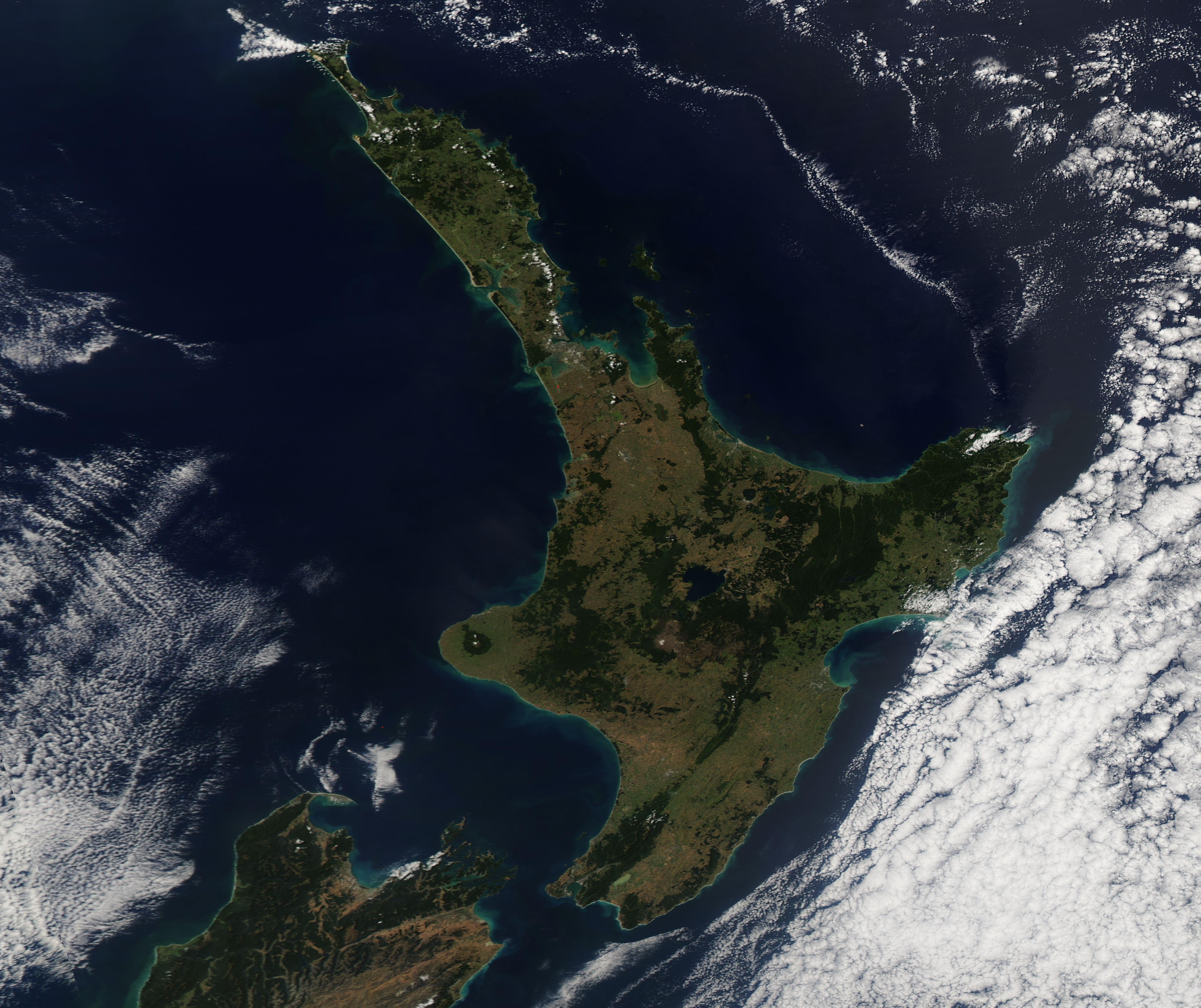
