
Images


November 29, 2019 - Korean Peninsula
 Tweet
Tweet
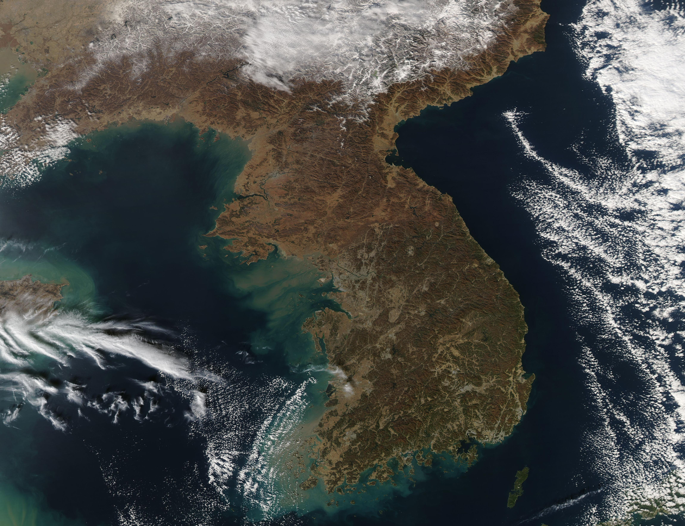
While fresh snow blanketed southeastern China and clouds hung over both the Yellow Sea (east) and Sea of Japan (East Sea), the skies over the Korean Peninsula were cloud-free on November 20, 2019. The Moderate Resolution Imaging Spectroradiometer (MODIS) on board NASA’s Aqua satellite acquired a true-color image of the sunny scene on that same day.
The Korean Peninsula stretches about 680 miles (1,100 km) southward from its border with China. It is divided between two countries, the Democratic People's Republic of Korea (North Korea) and the Republic of Korea (South Korea). The boundary between North Korea and South Korea runs roughly along the 38th parallel. This boundary was established in 1953 in an armistice agreement and is called the Korean Demilitarized Zone (DMZ). It is 237 km (147.3 mi) long.
North Korea is larger than the state of Virginia and slightly smaller than Mississippi, encompassing 46,490 sq. mi (120,408 sq. km) of land. South Korea, sitting at the tip of the Korean Peninsula, has a land area of 37,421 sq. mi (96,920 sq. km), making it slightly smaller than the state of Pennsylvania but larger than the state of Indiana. South Korea enjoys roughly 1,500 mi (2,413 km) of coastline compared to North Korea’s slightly longer coastline which runs about 1,550 mi (2,495 km).
Image Facts
Satellite:
Aqua
Date Acquired: 11/20/2019
Resolutions:
1km (899 KB), 500m (2.3 MB), 250m (2 MB)
Bands Used: 1,4,3
Image Credit:
MODIS Land Rapid Response Team, NASA GSFC
