
Images


November 21, 2020 - North West Tasmania
 Tweet
Tweet
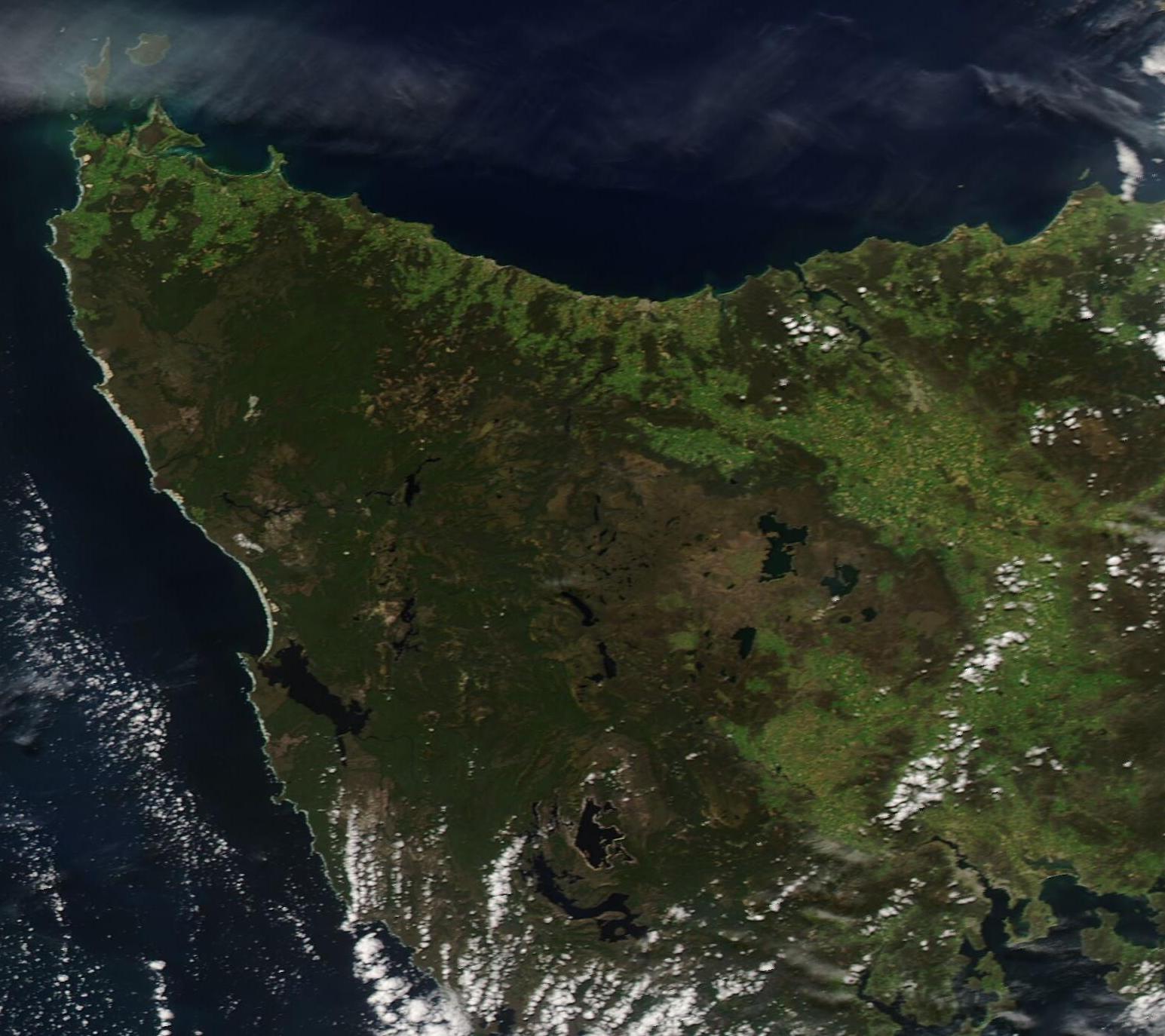
Springtime in Tasmania bustles with life – from fields of colorful tulips blossoming in the fertile volcanic soils on the North West coast, to Tasmanian Devils embarking on their first adventures as they emerge from their den. On November 20, 2020, the Moderate Resolution Imaging Spectroradiometer (MODIS) on board NASA’s Aqua satellite acquired a true-color image of North West Tasmania under a clear and sunny spring sky.
The island state of Tasmania sits about 124 miles (200 km) off the southeastern coast of Australia, separated only by the Bass Strait. The waters of the Indian Ocean lap against the rugged western coastline. More than 75% of the North West Region’s population is concentrated along the northern coastal strip. Mining and agriculture are major industries in the Region, along with tourism.
One of the jewels of the Region is the Tarkine – the second largest expanse of temperate rainforest on Earth. The name comes from the Tarkiner people, one of the Aboriginal groups that lived in the deep, cool forest for many thousands of years. Covering roughly 447,000 hectares, this rainforest is rich in ancient Aboriginal cultural sites and European historic centers. It is also home to more than sixty species that are rare, threatened, or endangered including the Giant Freshwater Lobster, the Tasmanian Wedge Tailed Eagle, Tasmanian Devil, the Spotted-tail Quoll (a vaguely cat-like carnivorous marsupial), the Orange Parrot, and the Swift Parrot. While the uniqueness and biological importance of the Tarkine has been recognized by UNESCO, it is estimated than only about 5 percent has been preserved in park status.
Image Facts
Satellite:
Aqua
Date Acquired: 11/20/2020
Resolutions:
1km (51.2 KB), 500m (158.7 KB), 250m (436 KB)
Bands Used: 1,4,3
Image Credit:
MODIS Land Rapid Response Team, NASA GSFC
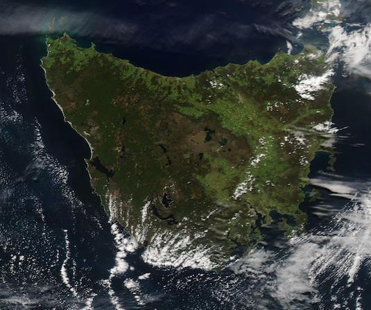
