
Images


January 9, 2021 - Tropical Cyclone Danilo
 Tweet
Tweet
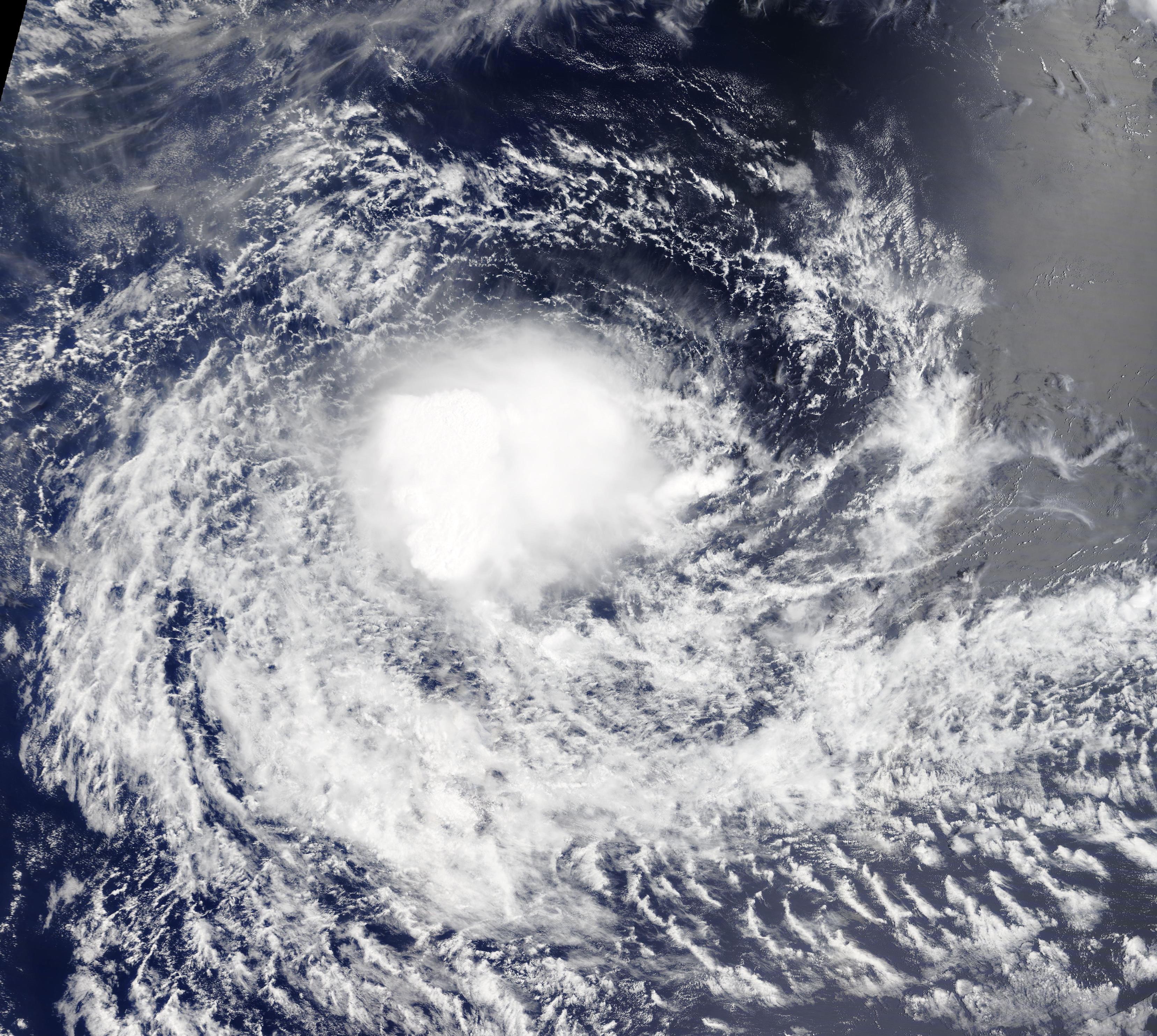
On January 7, 2021, the Moderate Resolution Imaging Spectroradiometer (MODIS) on board NASA’s Terra satellite acquired a true-color image of Tropical Cyclone Danilo spinning over the southern Indian Ocean.
On January 1, an advisory by Meteo France La Reunion reported that the fluctuating storm had maintained a structure justifying a Dvorak analysis of 2.5+ and stated that the system was named Danilo by the Mauritanian Meteorological Service. By January 5, Danilo became a Category 1 tropical cyclone with 1-minute sustained winds of 75 mph (100 km/h).
On January 8 at 0000 UTC (January 7 at 7:00 p.m. EST), the center of Tropical Cyclone Danilo was located about 330 miles (530 km) north-east of Rodrigues Island, Mauritius and was carrying maximum sustained winds of 46 mph (74 km/h).
The Joint Typhoon Warning Center (JTWC) reports that the storm has been on a weakening trend, but forecasts that Danilo will slowly intensify to again reach peak maximum wind speed of about 46 mph (74 km/h) on January 10. After that time, Tropical Storm Danilo is expected to meet with unfavorable conditions and begin to weaken once again and dissipate by January 13.
According to ReliefWeb, a near-approach to Rodrigues Island on January 9 is expected. On January 10-11, Tropical Cyclone Danilo will pass close to Mauritius and La Réunion Islands. Heavy rain, strong wind and strong storm surge are expected to affect the islands for the next 48 hours.
Image Facts
Satellite:
Terra
Date Acquired: 1/7/2021
Resolutions:
1km (4.5 MB), 500m (1.6 MB), 250m (4.4 MB)
Bands Used: 1,4,3
Image Credit:
MODIS Land Rapid Response Team, NASA GSFC
