
Images


September 29, 2021 - Drought Along the Colorado River
 Tweet
Tweet
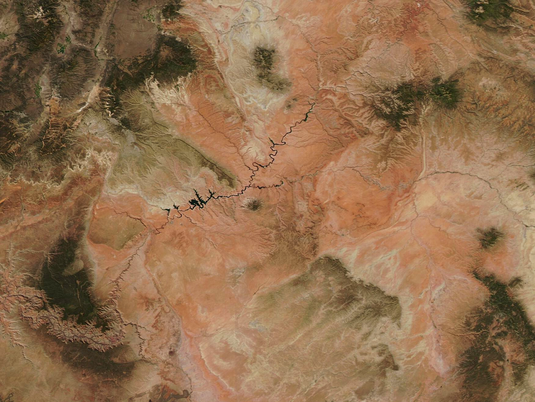
On September 21, 2021, the Moderate Resolution Imaging Spectroradiometer (MODIS) on board NASA’s Aqua satellite acquired a true-color image of the drought-stricken Colorado River as it courses through southeastern Utah and northeastern Arizona. The ochre-toned landscape washed with white gives a distinctly parched impression. However, to better appreciate the effect of the drought it is helpful to compare two Aqua MODIS images, one captured recently and one acquired when water levels were higher. The NASA Worldview App permits an easy roll-over comparison between two images. To view the stark differences between September 21, 2021 and September 30, 2017, click here.
Lake Powell, which is sometimes described as looking like a “snake that ate a porcupine”, straddles the border of the states of Utah and Arizona and is the second-largest reservoir by capacity in the United States. In July 2021, water levels on the lake fell to the lowest point since 1969 and have continued dropping. According to NASA’s Earth Observatory, on September 20, 2021, the water elevation at Glen Canyon Dam was 3,546.94 feet, which was more than 153 feet below “full pool” (elevation 3,700 feet) and the lake held just 30 percent of its capacity. At that point, federal managers started releasing water from upstream reservoirs to help keep Lake Powell from dropping below a threshold (3,490 feet) that threatens hydropower equipment at the dam. Despite the releases, seven days later, on September 27, the Lake Powell Water Database reported that the water elevation was 3,545.83 feet, which is 1.11 feet less than the previous week. Also, the lake was reported at 154.17 feet below “full pool” and was 29.97 percent capacity.
NASA’s Earth Observatory recently published a detailed story discussing the drought and its affect not only on Lake Powell but also on Lake Mead (which lies below Lake Powell on the Colorado River) and the entire Lower Colorado River water storage system. To read the story, click here.
Image Facts
Satellite:
Aqua
Date Acquired: 9/21/2021
Resolutions:
1km (183 KB), 500m (519.9 KB), 250m (1.1 MB)
Bands Used: 1,4,3
Image Credit:
MODIS Land Rapid Response Team, NASA GSFC
