
Images


May 10, 2022 - Tropical Cyclone Karim
 Tweet
Tweet
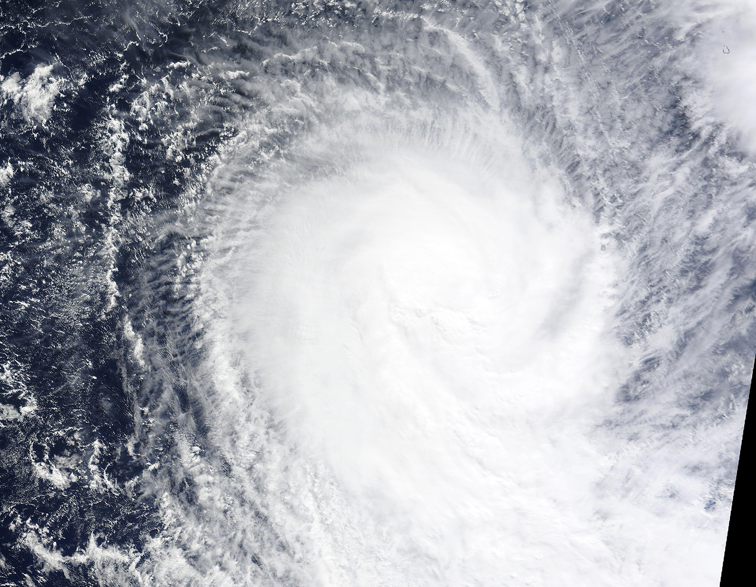
On May 9, 2022, the Moderate Resolution Imaging Spectroradiometer on NASA’s Terra satellite acquired a true-color image of Tropical Cyclone Karim spinning over the southern Indian Ocean.
On May 7, the cyclone formed from Tropical Disturbance 90S and was given the name Karim by the Mauritius Meteorological Service. At that time, Karim's maximum sustained winds reached 65 km/h (40 mph) with gusts to 95 km/h (60 mph) and the storm was moving to the southeast.
By 1800 UTC (2:00 p.m. EDT) on May 9, Tropical Cyclone Karim had strengthened, with maximum sustained winds reaching 112 km/h (70 mph) with gusts to 138 km/h (86 mph). The center of the storm was located about 409 miles (658 miles) west-southwest of the Cocos Islands, Australia. The storm was tracking south-southeastward and was not anticipated to pose significant hazard to any land. Tropical Cyclone Karim is moving into unfavorable conditions, with increasing wind shear. Forward motion is expected to stall and through May 11 then be turned back towards the northwest on May 12, when Karim is expected to quickly dissipate.
Image Facts
Satellite:
Terra
Date Acquired: 5/9/2022
Resolutions:
1km (1.2 MB), 500m (3.5 MB), 250m (2.6 MB)
Bands Used: 1,4,3
Image Credit:
MODIS Land Rapid Response Team, NASA GSFC
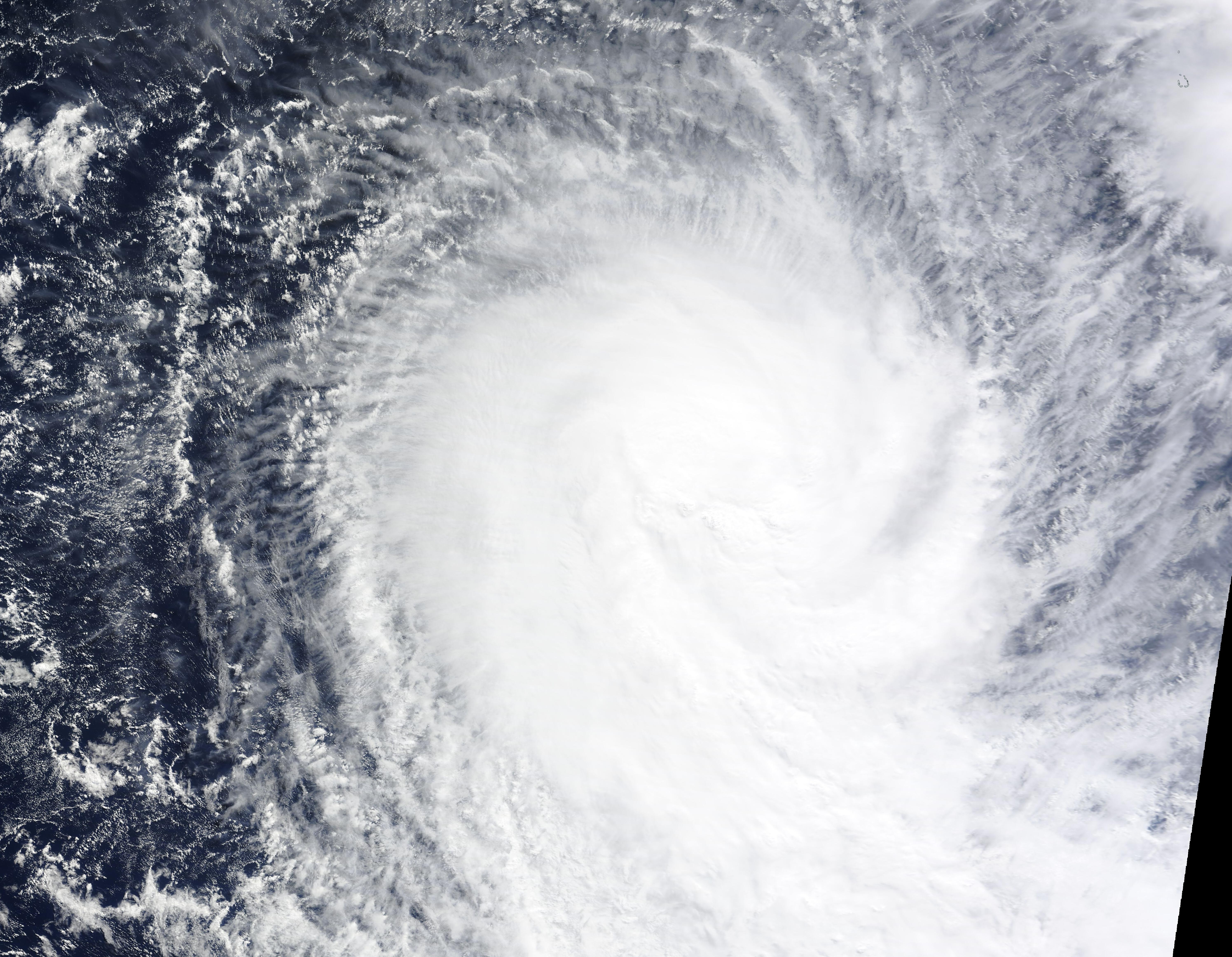
