
Images


September 1, 2022 - Super Typhoon Hinnamnor
 Tweet
Tweet
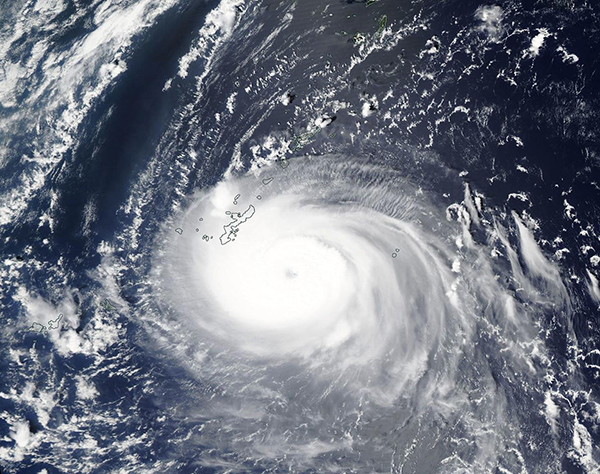
On August 30, 2022, Super Typhoon Hinnamnor became the strongest typhoon on Earth this year, packing maximum sustained winds of about 160 mph (257 km/h) and gusts of up to 190 mph (306 km/h) near the eye wall. At that time, the storm was spinning over the Pacific Ocean about 400 miles (644 km) south-southeast of Kyushu Island, Japan and was heading westward. That wind speed places Hinnamnor as a Category 5 storm on the Saffir-Simpson Hurricane Wind Scale.
On August 31, the Moderate Resolution Imaging Spectroradiometer (MODIS) on board NASA’s Aqua satellite acquired a true-color image of Hinnamnor bringing rain and winds to the Ryuku Islands. Local media reported that wind gusts in the city of Nanjo on Okinawa Island, the largest of the Ryuku Islands, reached 92 km/h (57 mph) that day.
At 1500 UTC (11:00 a.m. EDT) on August 31, the Joint Typhoon Warning Center (JTWC) advised that Hinnamnor had been downgraded from a Super Typhoon, with maximum sustained winds of 144 mph (232 km/h), which is a strong Category 4 storm. At that time, wind gusts were reaching 173 mph (278 km/h) and Typhoon Hinnamnor was located about 117 miles (188 km) south of Kadena Air Force Base, Okinawa, Japan. It was moving south-southwest at 15 mph (24 km/h).
Typhoon Hinnamnor will be moving into an increasingly complicated and unfavorable environment, with another storm (currently Tropical Depression 13) trying to form to its south. Hinnamnor is expected to slide southward over the next 36 hours but should become nearly stationary around the 24-hour mark. Competing steering ridges to the west and east, along with a ridge building in the south, along with upwelling of cooler water and increasing wind shear should force Typhoon Hinnamnor to weaken steadily. Sometime on September 2, changes in steering ridges are expected to push the storm northward. The JTWC notes that after 72 hours (September 3) there is “notable potential” for Hinnamnor to restrengthen, although it is not expected to reach its former peak intensity.
The Warning Graphic published by the JTWC on August 31 shows Typhoon Hinnamnor likely making landfall on Ishigakijima (Ishigaki Island) on September 3 with maximum sustained winds of about 120 mph (193 km/h). That would place it as a Category 3 storm on the Saffir-Simpson Hurricane Wind Scale. After that time, Hinnamnor’s track is expected to keep it offshore as it churns northward over the East China Sea east of Shanghai, China.
Image Facts
Satellite:
Aqua
Date Acquired: 8/31/2022
Resolutions:
1km (299.1 KB), 500m (962.1 KB), 250m (2.7 MB)
Bands Used: 1,4,3
Image Credit:
MODIS Land Rapid Response Team, NASA GSFC
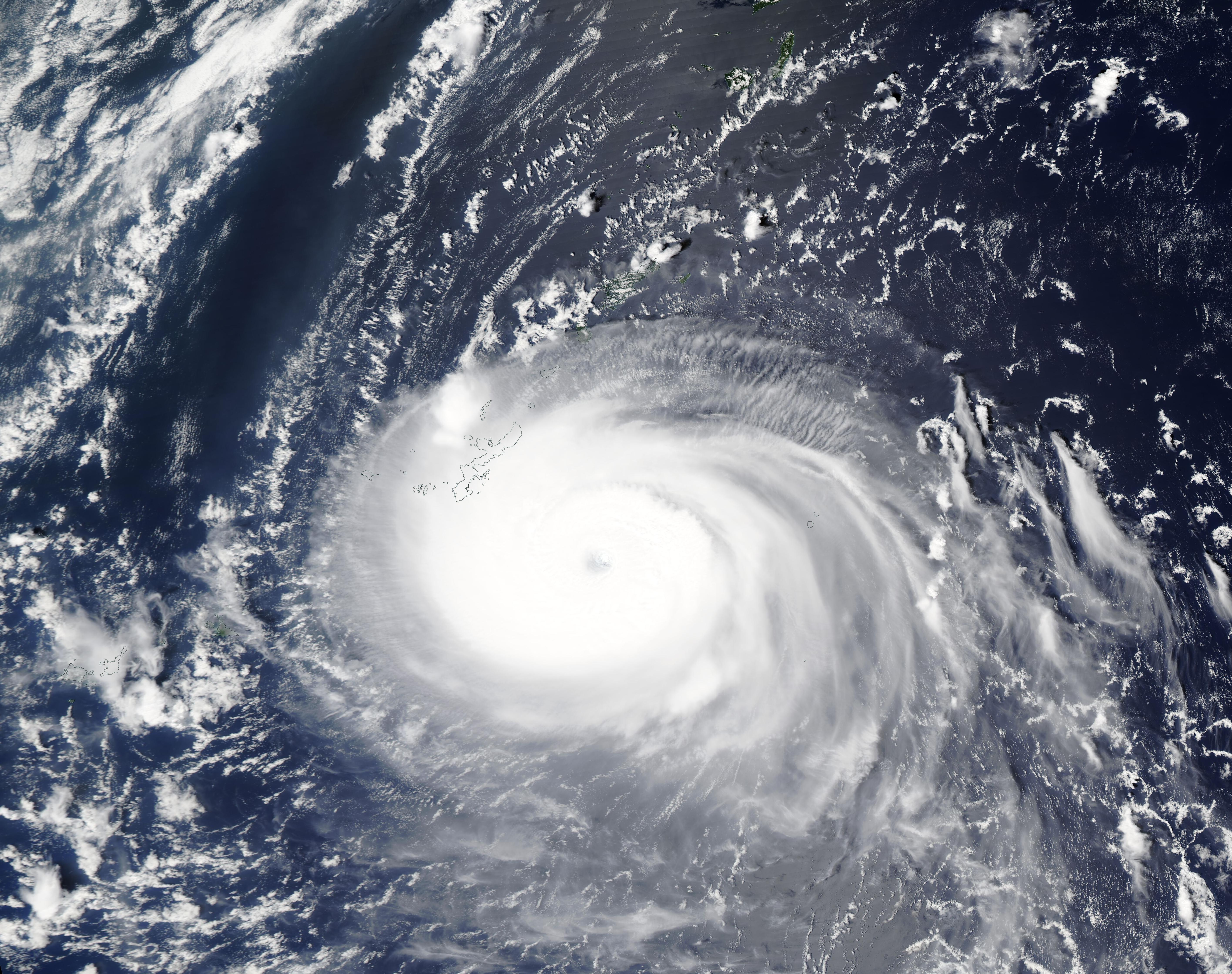
