
Images


April 22, 2018 - Dust storm in Taklimakan Desert, Western China
 Tweet
Tweet
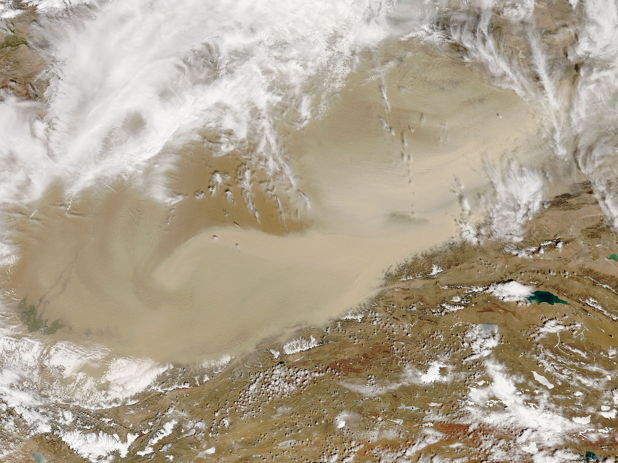
Spring winds continued drive strong dust storms over the Taklimakan Desert in late April 2018. The Moderate Resolution Imaging Spectroradiometer (MODIS) aboard NASA’s Terra satellite acquired a true-color image of the swirling sands on April 19.
China’s Taklimakan desert is one of the driest, most barren places on Earth. Flanked by mountain ranges on three sides and parched by the resulting rain shadow created by the mountains, part of the Tarim Basin receive less than one-half inch (about 10 millimeters) of rain per year. Almost 85 percent of the Taklimakan is made up of shifting sand dunes, some of which rise to 200 – 300 meters (650 to 900 feet). Dust storms are a common occurrence in this region, especially in the spring.
Image Facts
Satellite:
Terra
Date Acquired: 4/19/2018
Resolutions:
1km (197.7 KB), 500m (646.3 KB), 250m (1.6 MB)
Bands Used: 1,4,3
Image Credit:
Jeff Schmaltz, MODIS Land Rapid Response Team, NASA GSFC
