
Images


January 10, 2020 - Inner Niger Delta
 Tweet
Tweet
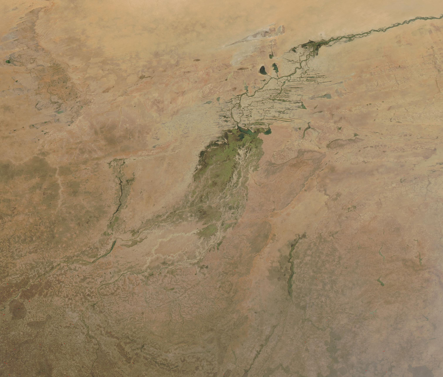
Just south of the arid Sahara Desert, at the edge of Mali’s dry Sahel, the green of the Inland Niger Delta gleams like a giant emerald. Fed by floodwaters from the Niger River, the Bani River, and a network of smaller streams, this inland delta grows to some 20,000 square kilometers (7,700 square miles) during the four-month rainy season that begins each July. During the dry season, the inland delta can shrink to roughly 3,900 square kilometers (1,500 square miles).
The Moderate Resolution Imaging Spectroradiometer (MODIS) on NASA’s Aqua satellite acquired a true-color image of the Inland Niger Delta on January 6, 2020. The Niger River curls through the tan landscape, entering the Delta from the north.
This complicated floodplain features a variety of ecosystems, including flooded grasslands, forest floodplains, lakes and savannah. It is the second-largest wetland in Africa, second only to the Okavango Delta in Botswana. About one million people rely on the Inner Nile Delta, using its refreshing waters for agriculture, farming, fishing, transportation, tourism, and more. The oasis is also critical for a variety of animal and plant life, including the West African manatee and the hippopotamus, both listed on the International Union for Conservation of Nature (IUNC) Red List. More than 350 species of bird have been identified in the Inner Nile Delta, with more than 1 million birds coming to the Delta from more than 80 countries in migration.
Image Facts
Satellite:
Aqua
Date Acquired: 1/6/2020
Resolutions:
1km (343.3 KB), 500m (938.6 KB), 250m (643.8 KB)
Bands Used: 1,4,3
Image Credit:
MODIS Land Rapid Response Team, NASA GSFC
