
Images


February 9, 2020 - Yucatan Peninsula
 Tweet
Tweet
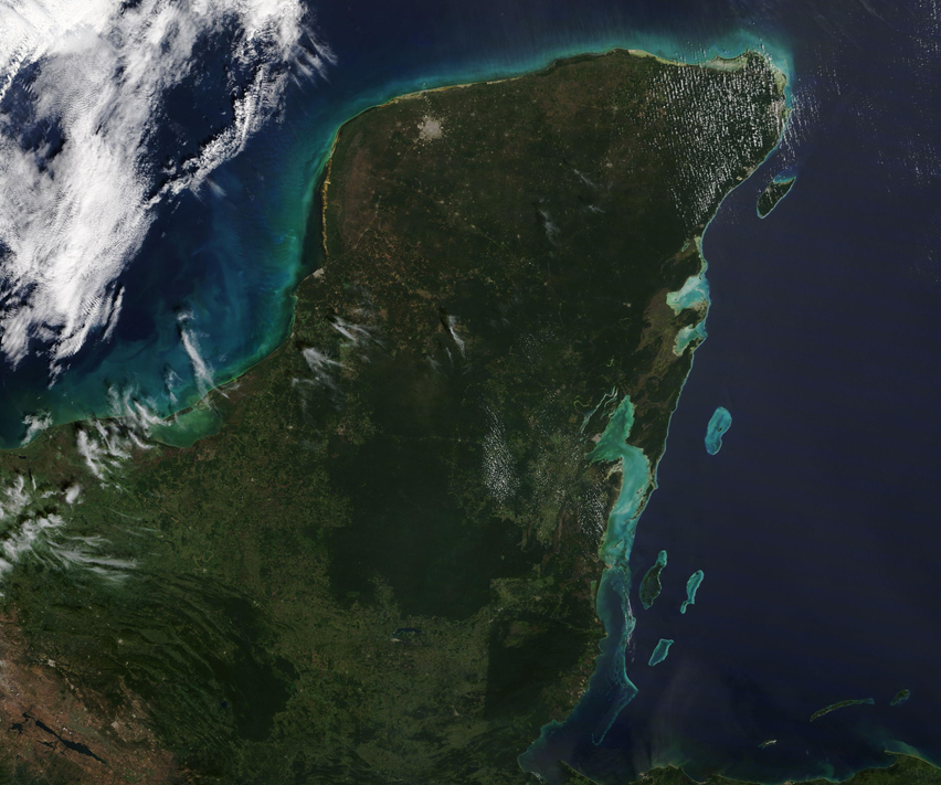
A few wisps of cloud floated over Mexico’s Yucatan Peninsula on February 6, 2020, when NASA’s Terra passed overhead. The Moderate Resolution Imaging Spectroradiometer (MODIS) on board that satellite acquired a true-color image of the scene on that same day.
The gorgeous, green peninsula is made up of of several Mexican states, including Yucatan in the north, Quintana Roo to the east, and Campeche to the west. Mexico also shares the Yucatan Peninsula with the countries of Belize and Guatemala. Belize sits on the southeastern coast while Guatemala occupies the southern inland region.
The largest city in the Yucatan is Merida, a popular stopping-off point for tourists coming to visit the UNESCO world heritage sites and “magic cities” found here. Once home to the unique Mayan civilization, more than a hundred historic Mayan sites have been found on the peninsula, including cities like Chichen Itza and Uxmal. The modern city of Merida can be seen as a nearly-round area of gray pixels in the northwest corner of the Yucatan.
Image Facts
Satellite:
Terra
Date Acquired: 2/6/2020
Resolutions:
1km (422.8 KB), 500m (1.1 MB), 250m (874.2 KB)
Bands Used: 1,4,3
Image Credit:
MODIS Land Rapid Response Team, NASA GSFC
