
Images


April 23, 2025 - Spring Snow in the Southwest
 Tweet
Tweet
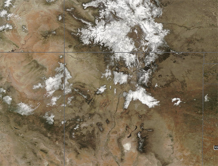
A significant spring snowstorm walloped parts of the U.S. Southwest over the Easter weekend in mid-April 2025, snarling traffic and causing disruptions in airline traffic.
The Moderate Resolution Imaging Spectroradiometer (MODIS) on NASA’s Terra satellite acquired this true-color image of the aftermath of the storm on April 20. Fresh snow is seen atop the Rocky Mountains in four states. Moving clockwise from the upper right they are Colorado, New Mexico, Arizona, and Nevada.
In Colorado, the heaviest snowfall was reported in the central mountains, with 16.8 inches (42.6 cm) accumulation in Loveland Pass and 17 inches (43.2 cm) in Conifer. Accumulation of more than a foot was widespread in the high country, while lower elevations received lower amounts. Local news reported that some areas in the Denver metro area (Golden, Boulder, and Lakewood) ended up with 8 inches (20.3 cm) or greater. The official totals for Denver itself, according to the National Weather Service was 3.9 inches. Denver International Airport received only 0.06 inches (0.15 cm) of snow, but the severe weather caused more than 160 flight delays.
Image Facts
Satellite:
Terra
Date Acquired: 4/20/2025
Resolutions:
1km (988.8 KB), 500m (2.6 MB), 250m (2 MB)
Bands Used: 1,4,3
Image Credit:
MODIS Land Rapid Response Team, NASA GSFC
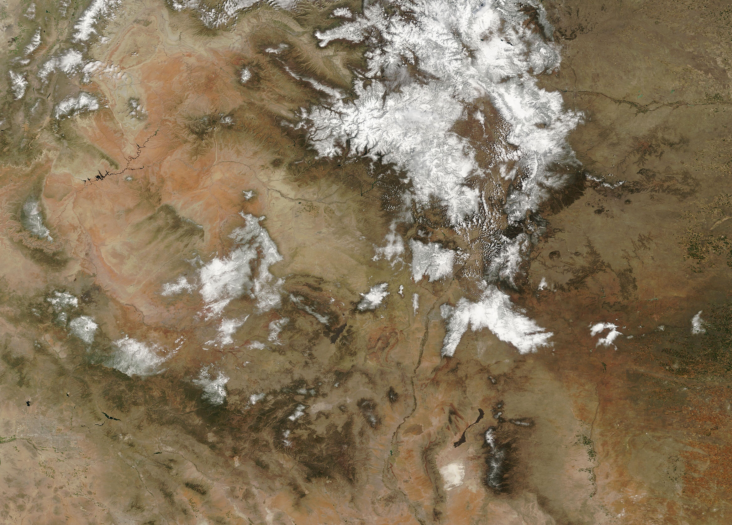
