
Images


April 17, 2018 - Luzon
 Tweet
Tweet
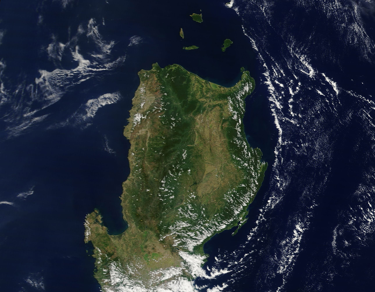
The Philippine Islands, also known as the Republic of the Philippines is an archipelago of more than 7,000 islands sitting at the eastern edge of Southeastern Asia between the South China Sea and the Philippine Sea. While the exact number of islands is in dispute – the traditional count of 7,107 islands was updated to as many as 7,641 in 2016 – there is no dispute that the island of Luzon is the largest.
Luzon sits at the northernmost tip of the Philippines. It is famous for its rugged mountains, sparkling beaches, spectacular rice terraces, as well as an abundance of volcanoes. At least 25 volcanoes sit on Luzon Island itself, with five more on islands north of Luzon. One of the most active volcanoes in the world is the Mayon volcano located in the south of the island. Mayon began a new eruptive phase on January 13, 2018, with a steam- driven eruption sending gray plumes high into the air. Mayon sits off the lower edge of this image.
On April 12, 2018, the Moderate Resolution Imaging Spectroradiometer (MODIS) aboard NASA’s Terra satellite acquired a beautifully clear true-color image of northern Luzon. The most notable features visible are the Cordillera Mountains, home to the island’s highest peak, Mount Pulag. Mount Pulag rises to 2,922 meters (9,587 feet). Between the Cordillera Mountains in the west and the Sierra Madre mountains in the east lies the Cagayan Valley. Rich in agriculture, the Cagayan Valley also has a brisk and growing aquaculture industry.
Image Facts
Satellite:
Terra
Date Acquired: 4/12/2018
Resolutions:
1km (283.7 KB), 500m (711.3 KB), 250m (518 KB)
Bands Used: 1,4,3
Image Credit:
Jeff Schmaltz, MODIS Land Rapid Response Team, NASA GSFC
