
Images


April 2, 2022 - Smoke and Vog from Taal Volcano
 Tweet
Tweet
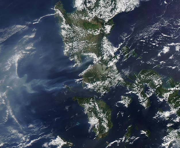
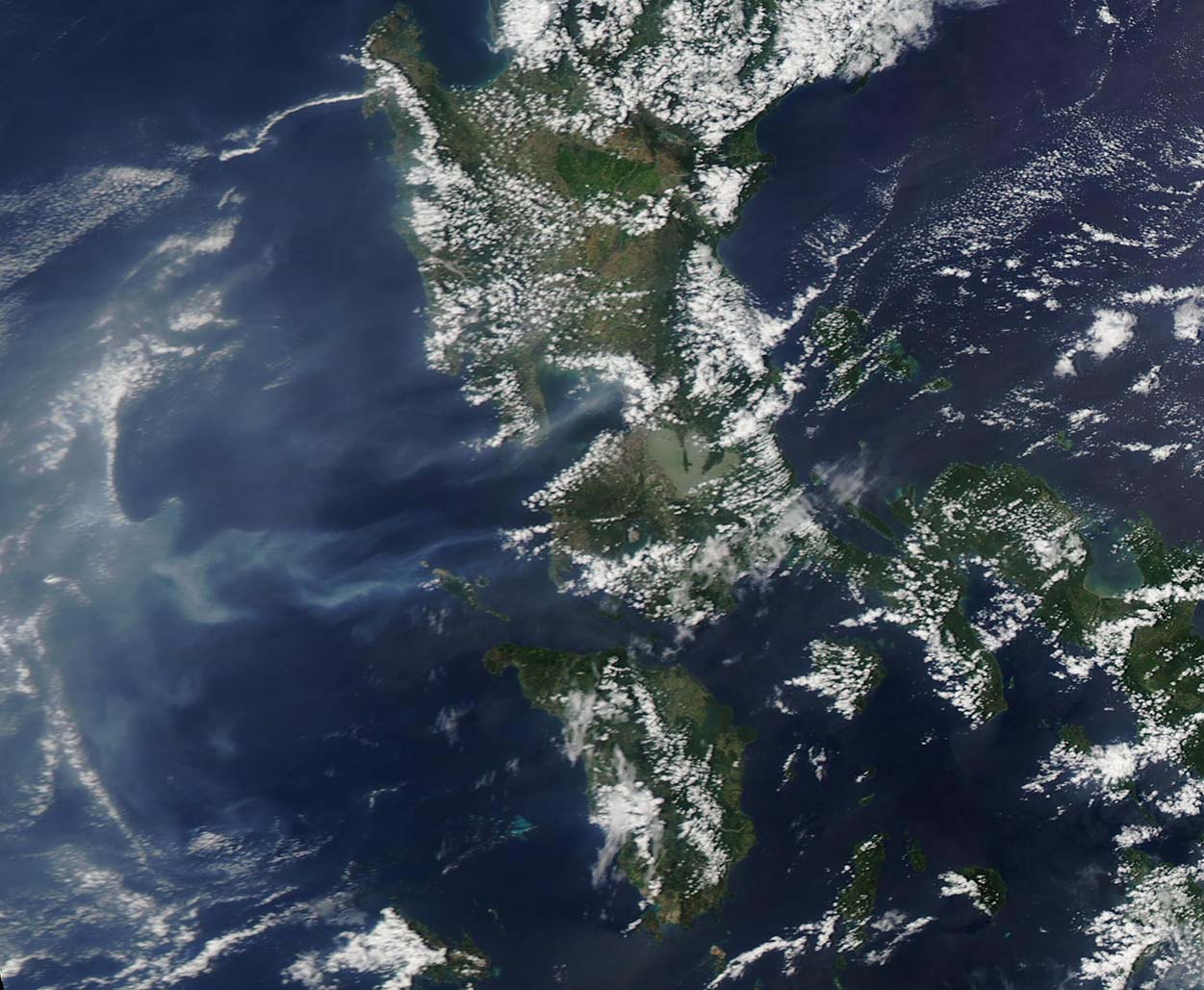
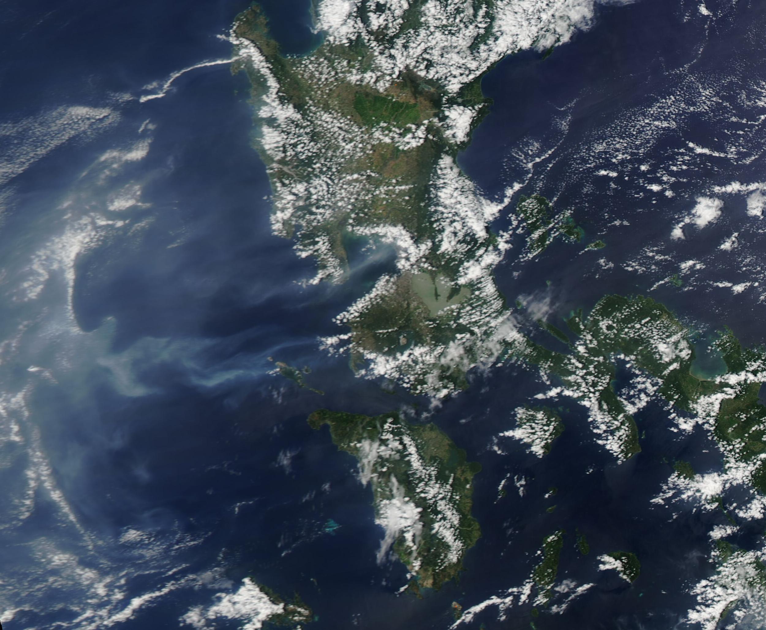
Volcanic vog and smoke hung over the Philippine Sea on March 24, 2022, when the Moderate Resolution Imaging Spectroradiometer (MODIS) on board NASA’s Aqua satellite acquired a true-color image of the region. A few fires on the island of Luzon contribute some smoke, but the majority of the blue-gray cloud to the west of the Philippines most likely rises from the Taal Volcano. The Philippine Institute of Volcanology and Seismology reported that hot volcanic fluids circulated and upwelled in Taal’s Main Crater Lake during March 24-25, producing plumes that rose as high as 2.4 km above the lake surface. A part of the plume can be seen blowing westward from Taal, which sits southwest of the green-tinted, three-lobed bay off the coast of Luzon Island. As the gas-filled plume mixed with the atmosphere, haze-like vog was created. Vog is a combination of fog, smog, and volcanic gas. To be more specific, the Hawaiian Volcano Observatory has defined vog as “a visible haze comprised of gas and an aerosol of tiny particles and acidic droplets, created when sulfur dioxide and other gases chemically interact with sunlight and atmospheric oxygen, moisture, and dust.”
Sitting south of the city of Manila, Taal Volcano is part of a caldera system on southern Luzon Island and is one of the most active and dangerous volcanoes in the Philippines. It has historical eruptions dating back to 3,580 BCE, with at least six of the eruptions since 1572 resulting in fatalities. Once of the deadliest occurred in 1911, when 1,334 people were reported killed. A strong eruption in 2020 resulted in 39 deaths, although only one was directly the result of the ashfall.
Prior to January 2020, Taal had been quiescent for 43 years. The volcano woke from slumber with a roar, spewing ash as far north as Manila and covering the landscape near the volcano under a hard crust of dust and ash as well as emitting large sulfur dioxide plumes. Since that time, the volcano has experienced several smaller eruptions, but most of the activity has been in the form of seething gas-and-steam emissions and sulfur dioxide plumes.
The Taal caldera is filled by Lake Taal, a 535 mile (160 km) deep lake with a surface area of about 103 square miles (267 sq km). Most historic eruptions have taken place from the volcanic island in the north-central part of Lake Taal, but several eruptive centers are submerged beneath the lake. One of the most frequent types of eruption is known as “phreatomagmatic”, which according to the U.S. National Park Service, are typically “violently-explosive eruptions driven by steam explosions produced by the interaction of hot magma with surface water or shallow ground water.” Also known as hydrovolcanic eruptions, they typically produce both steam and tephra (rocklike particles).
Although this image caught Taal Volcano in a steaming state, the mood changed quickly. According to the Smithsonian Institution Global Volcanism Program, “a phreatomagmatic eruption was recorded at 0226 on 25 March, based on seismic data and webcam images, and produced a 500-m-tall plume. Sulfur dioxide emissions averaged 6,957 tonnes/day that same day. A phreatomagmatic eruption during 0722-0859 on 26 March consisted of as many as 66 explosions”. Eruption plumes rose as high as 3 km (1.9 miles). The Smithsonian report continued, “The Philippine News Agency (PNA) reported that residents of Bilibinwang and Banyaga, Agoncillo and Boso-boso, Gulod and eastern Bugaan East, Laurel, Batangas Province began evacuating that day. Entry onto Taal Volcanic Island as well as the barangays of Agoncillo and Laurel was prohibited. National Disaster Risk Reduction and Management Council (NDRRMC) reported that by 27 March 2,961 people had been evacuated”. The active eruption is continuing.
Image Facts
Satellite:
Aqua
Date Acquired: 3/24/2022
Resolutions:
1km (92.6 KB), 500m (208.5 KB), 250m (492.1 KB)
Bands Used: 1,4,3
Image Credit:
MODIS Land Rapid Response Team, NASA GSFC
