
Images


April 18, 2022 - April Sea Ice over Hudson Bay
 Tweet
Tweet
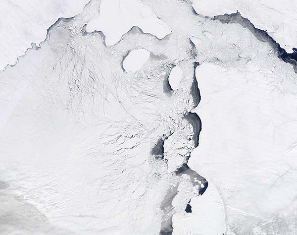
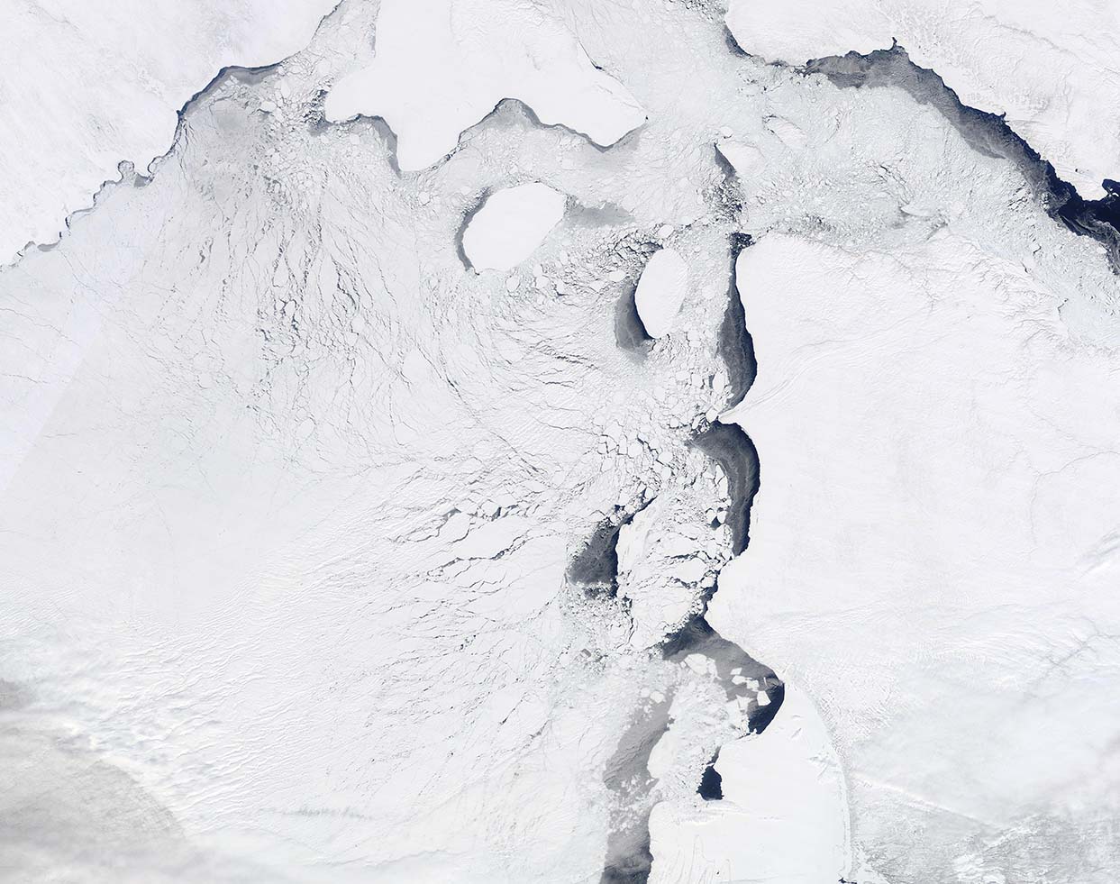
For Hudson Bay, the winter of 2021-2022 started slowly. By the end of November, the northern half of Hudson Bay normally lies completely under ice but at the end of November 2021, only the northern tip was frozen over. According to the National Snow and Ice Data Center (NSIDC), lower temperatures finally kicked in during December and the entire bay subsequently froze over, with ice cover complete by early January.
As daylight lengthens in the spring, temperatures slowly rise causing the sea ice to begin to melt. Traditionally, ice break-up begins in May or June and Hudson Bay doesn’t become completely ice-free until late July or August. Even as first melting begins, often near the eastern or southern coasts, cold temperatures often spur the sea ice cover to thicken through the month of May.
On April 14, 2022, the Moderate Resolution Imaging Spectroradiometer (MODIS) on board NASA’s Terra satellite acquired a true-color image of early ice breakup on northeastern Hudson Bay. Open water can be seen in several spots, especially near mainland Quebec, Canada (lower right). Smaller areas of open water exist near Baffin Island (upper right), the mainland of Nunavut, Canada, and several islands. Cracks appear across much of the sheet of sea ice as well.
With high temperatures still remaining well below freezing across most of the region, melting is not likely to continue at a precipitous rate.
Image Facts
Satellite:
Terra
Date Acquired: 4/14/2022
Resolutions:
1km (190.9 KB), 500m (491.6 KB), 250m (1.4 MB)
Bands Used: 1,4,3
Image Credit:
MODIS Land Rapid Response Team, NASA GSFC
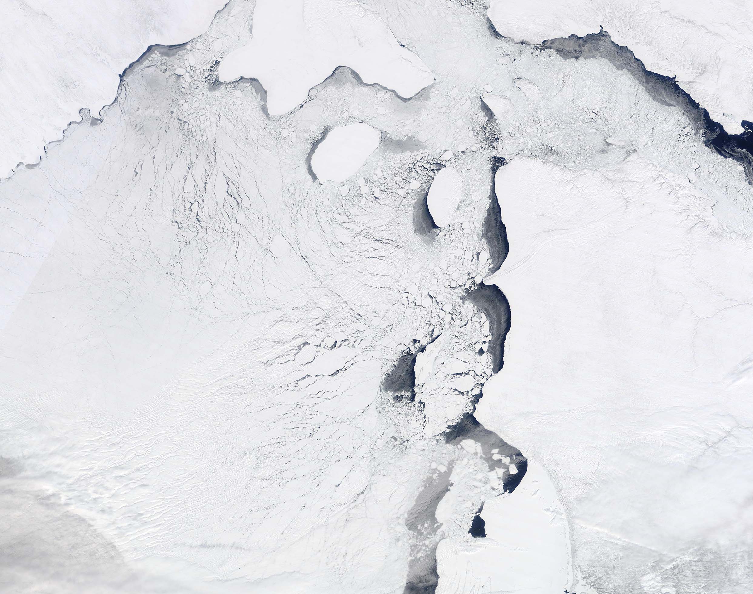
