
Images


May 20, 2022 - Tropical Cyclone Gina
 Tweet
Tweet
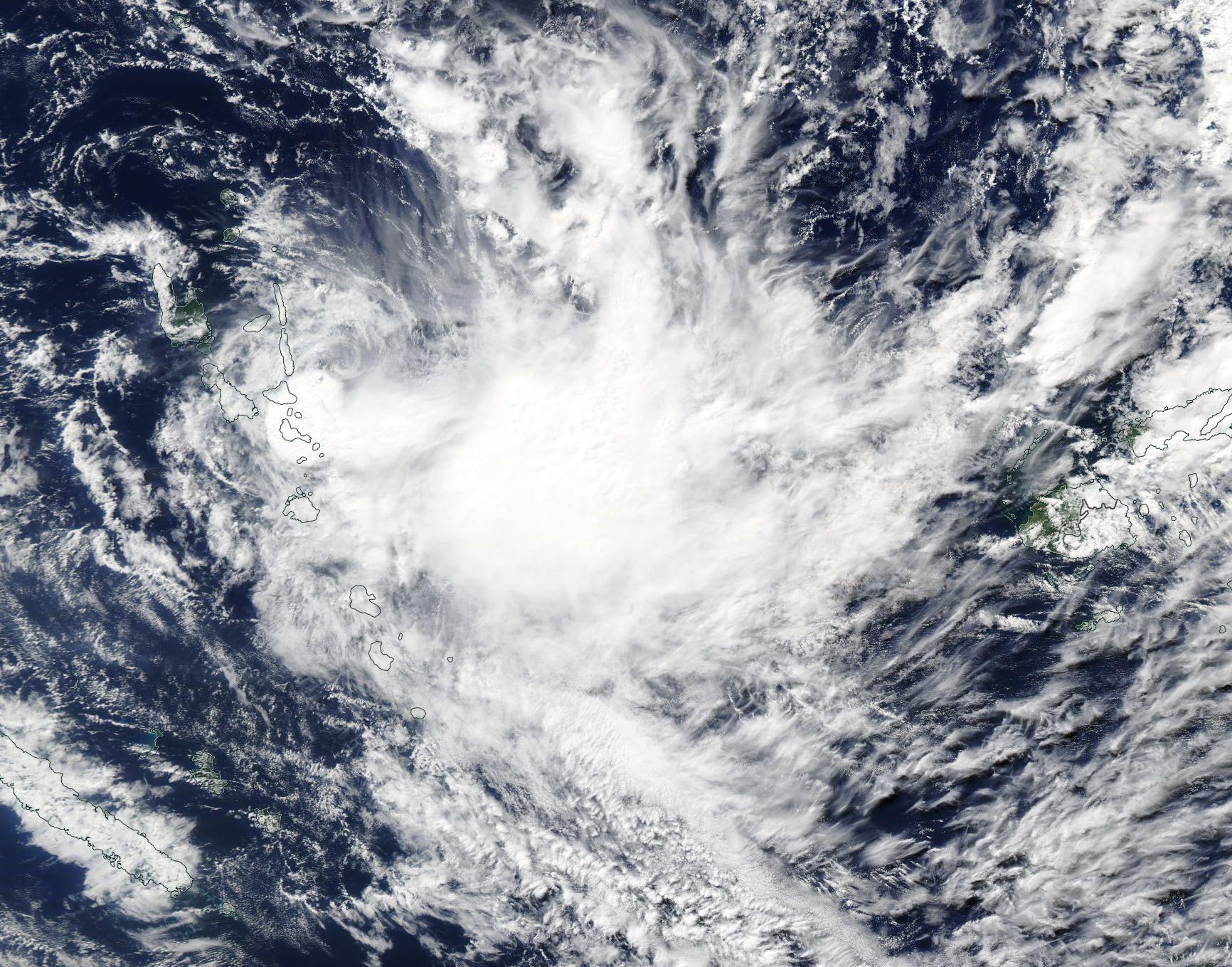
On May 18, 2020, Tropical Cyclone Gina formed in the South Pacific Ocean east of Vanuatu. The sixth named storm of the 2021-2022 South Pacific tropical cyclone season, the storm actually is an out-of-season system, as the season started on November 1, 2021, and ended on April 30, 2022.
The Moderate Resolution Imaging Spectroradiometer (MODIS) on board NASA’s Aqua satellite acquired a true-color image of Tropical Cyclone Gina on May 19 when it was approaching the islands of Vanuatu, which can be southwest of the storm. Several islands of Fiji can be seen to the east. At the time the image was acquired, Tropical Cyclone Gina sported a large cloudy-filled eye with weak circulation around the center.
At 2100 UTC (5:00 p.m. EDT) on May 19, the Joint Typhoon Warning Center (JTWC) reported Gina was carrying maximum sustained winds of 40 mph (64 km/h) with gusts to 53 mph (85 km/h) and was located approximately 36 miles (58 km) north-northwest of Port Villa, Vanuatu and was tracking south-southwestward. Maximum significant wave height is 14 feet (4.2 meter). Tropical Cyclone Gina is expected to maintain the current strength and motion over the next 36 hours and then will weaken and dissipate within 72 hours. While the system is carrying substantial rain, severe damage to land is not currently anticipated.
Image Facts
Satellite:
Aqua
Date Acquired: 5/19/2022
Resolutions:
1km (473.8 KB), 500m (4 MB), 250m (4.3 MB)
Bands Used: 1,4,3
Image Credit:
MODIS Land Rapid Response Team, NASA GSFC
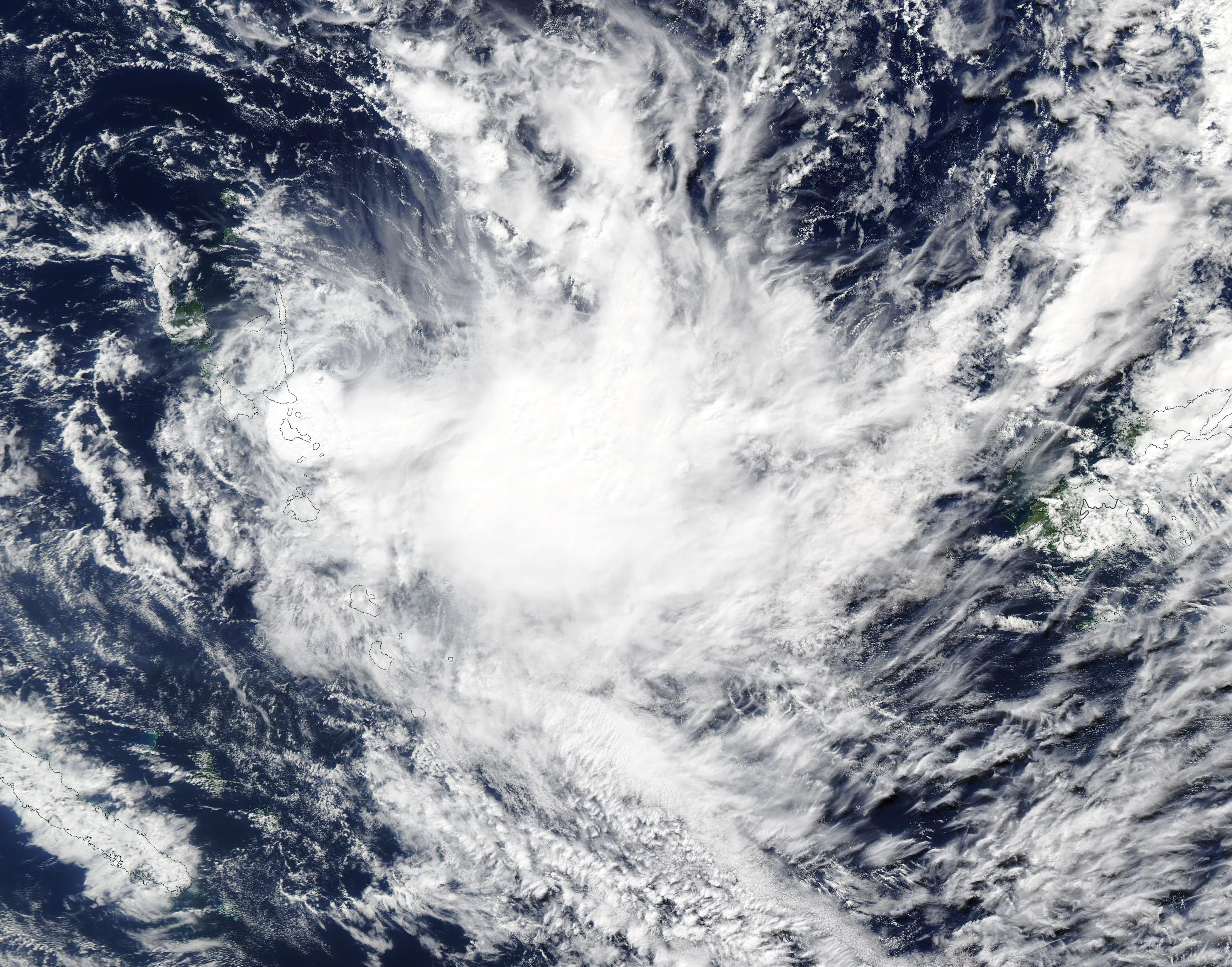
