
Images


October 8, 2022 - Fog and Fire in Oregon
 Tweet
Tweet
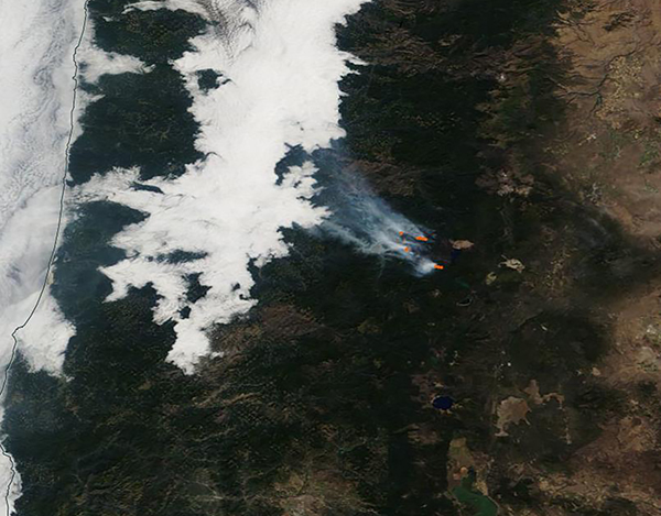
On October 6, 2022, a bank of bright white fog hung over the Willamette Valley and the West Slope of Oregon’s Cascades Mountains while gray smoke poured from several fires burning on the drier eastern side of the ridgeline. The Moderate Resolution Imaging Spectroradiometer (MODIS) on board NASA’s Terra satellite acquired a true-color image of the region on that same day.
Fog frequently forms over the Willamette Valley and the West Slopes, thanks to the proximity to bountiful quantities of moist air that blows in from over the Pacific Ocean. The tall peaks of the Cascades form a barrier to moisture, effectively keeping moisture from reaching the eastern side. This area, called a “rain shadow”, is a perfect spot for wildfires to spark, especially in hot weather that dries out vegetation.
The largest fire visible is the Cedar Creek Fire. This fire is burning on several fronts, as can be seen by the red “hot spots” seen in the image. Cedar Creek Fire sparked to life on August 1 due to a lightning strike. As of October 7, it had expanded to cover 121, 249 acres and is burning in very difficult and steep territory. Because of the high-risk location, firefighting has primarily been indirect, building fire lines near roads and trails where the fire can be contained when it reaches those lines. It has reached 38 percent containment.
Image Facts
Satellite:
Terra
Date Acquired: 10/6/2022
Resolutions:
1km (34.3 KB), 500m (122.8 KB), 250m (409.2 KB)
Bands Used: 1,4,3
Image Credit:
MODIS Land Rapid Response Team, NASA GSFC
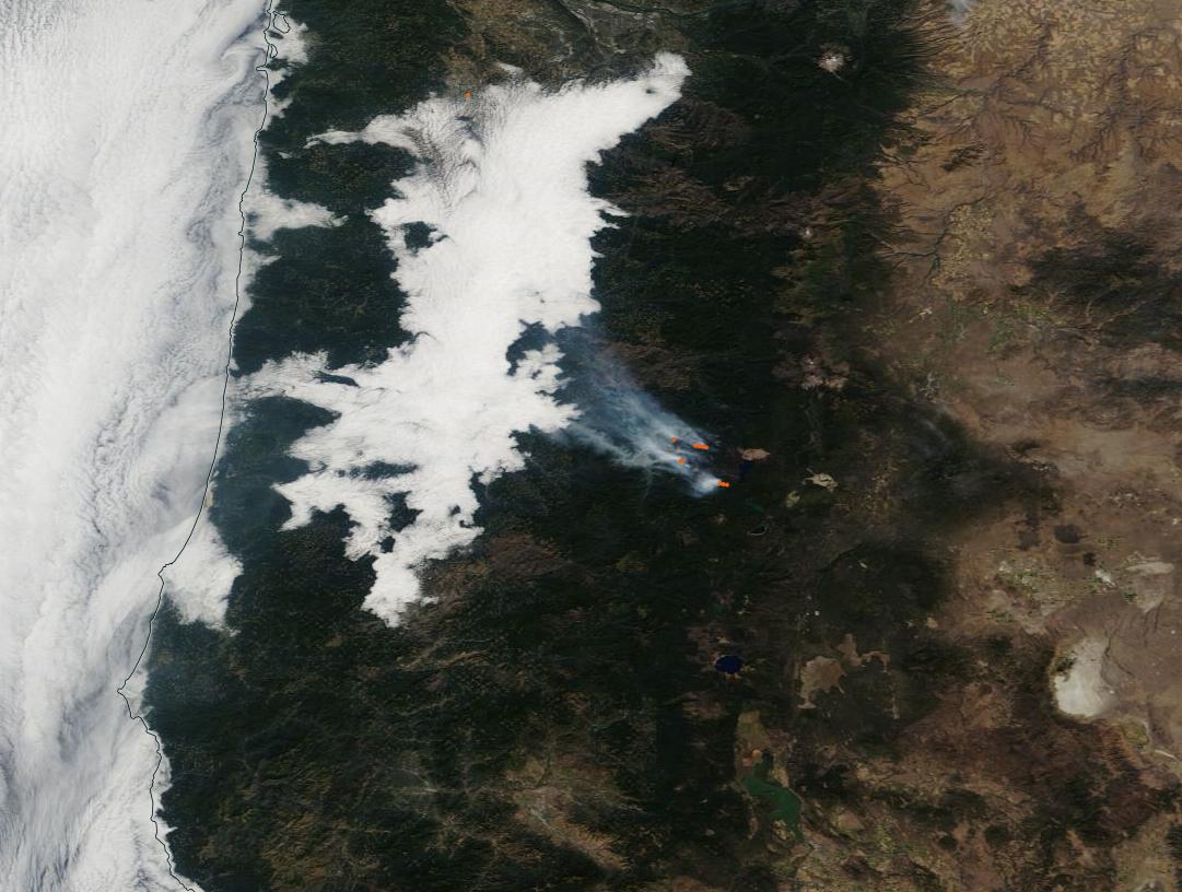
