
Images


October 16, 2018 - Indus River and Delta
 Tweet
Tweet
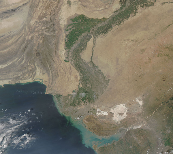
One of the largest rivers in Asia, the Indus river flows southward through Pakistan to empty into the Arabian Sea in the Indus River Delta. Fed by glaciers in the Himalaya and Karakoram mountain ranges and by Asian monsoon rains, the life-giving waters feed vegetation in an otherwise arid or semi-arid region. The greens of the Indus River Valley and Delta make viewing the sinuous course of the important waterway easily visible from space.
The Moderate Resolution Imaging Spectroradiometer (MODIS) onboard NASA’s Terra satellite acquired a true-color image of the Indus River and Indus River Delta on October 14, 2018.
Image Facts
Satellite:
Terra
Date Acquired: 10/14/2018
Resolutions:
1km (591.9 KB), 500m (1.5 MB), 250m (1.1 MB)
Bands Used: 1,4,3
Image Credit:
MODIS Land Rapid Response Team, NASA GSFC
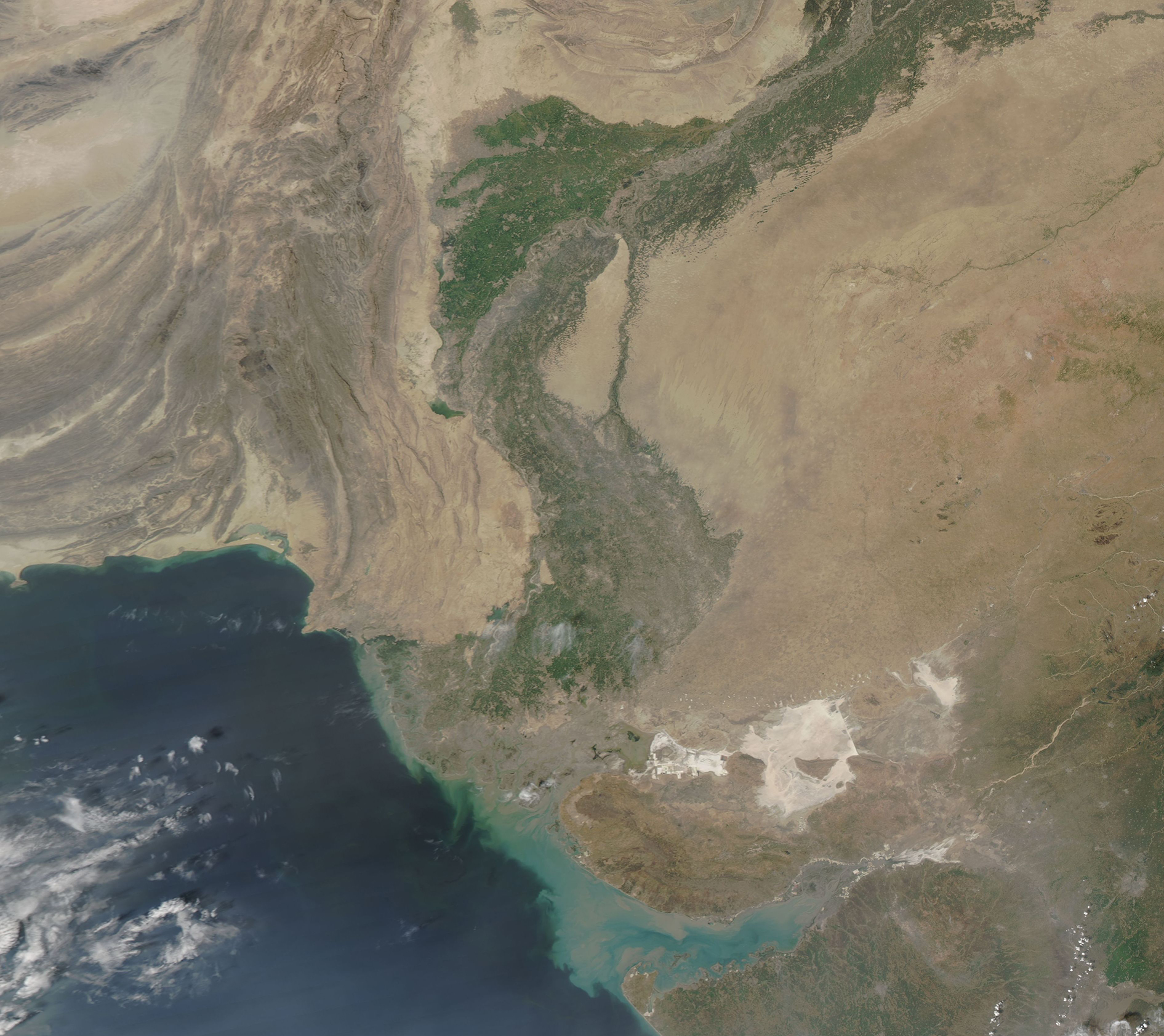
