
Images


May 3, 2021 - Islands of the Aegean Sea
 Tweet
Tweet
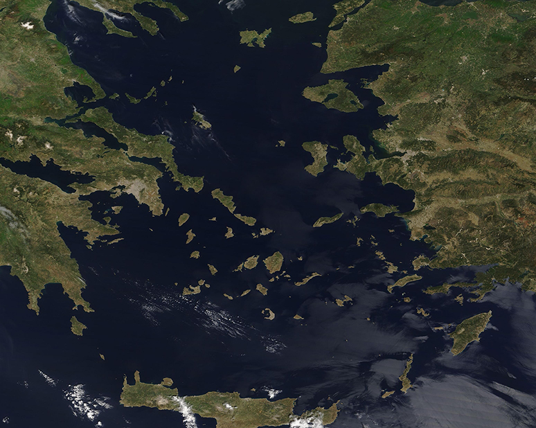
A myriad of green islands dot the deep blue waters of the Aegean Sea, appearing much like emeralds scattered across a jeweler’s sales board—each beautiful and uniquely valuable.
The Moderate Resolution Imaging Spectroradiometer (MODIS) on board NASA’s Terra satellite acquired this true-color image highlighting the Aegean Sea and its islands on April 30, 2021. The Greek island of Crete sits along the southern border of the image. It is the largest and most populous of the Greek Islands. Turkey can be seen in the east and the Greek mainland in the west. The large gray smudge on the Greek coastline marks the city of Athens, which is the largest city in Greece.
The Aegean Sea spans roughly 83,000 square miles (214,970 sq km) in total area, measuring 380 miles (612 km) north to south and 190 miles (306 km) east to west. The numerous islands can be divided into several groups: Dodecanese, Cyclades, Sporades, Saronic islands and the North Aegean Islands. Crete and its surrounding islands are another cluster. Most of the islands belong to Greece and some belong to Turkey; a few are claimed by both countries.
Image Facts
Satellite:
Terra
Date Acquired: 4/30/2021
Resolutions:
1km (406.4 KB), 500m (1 MB), 250m (661.5 KB)
Bands Used: 1,4,3
Image Credit:
MODIS Land Rapid Response Team, NASA GSFC
