
Images


March 24, 2025 - The Horn of Africa
 Tweet
Tweet
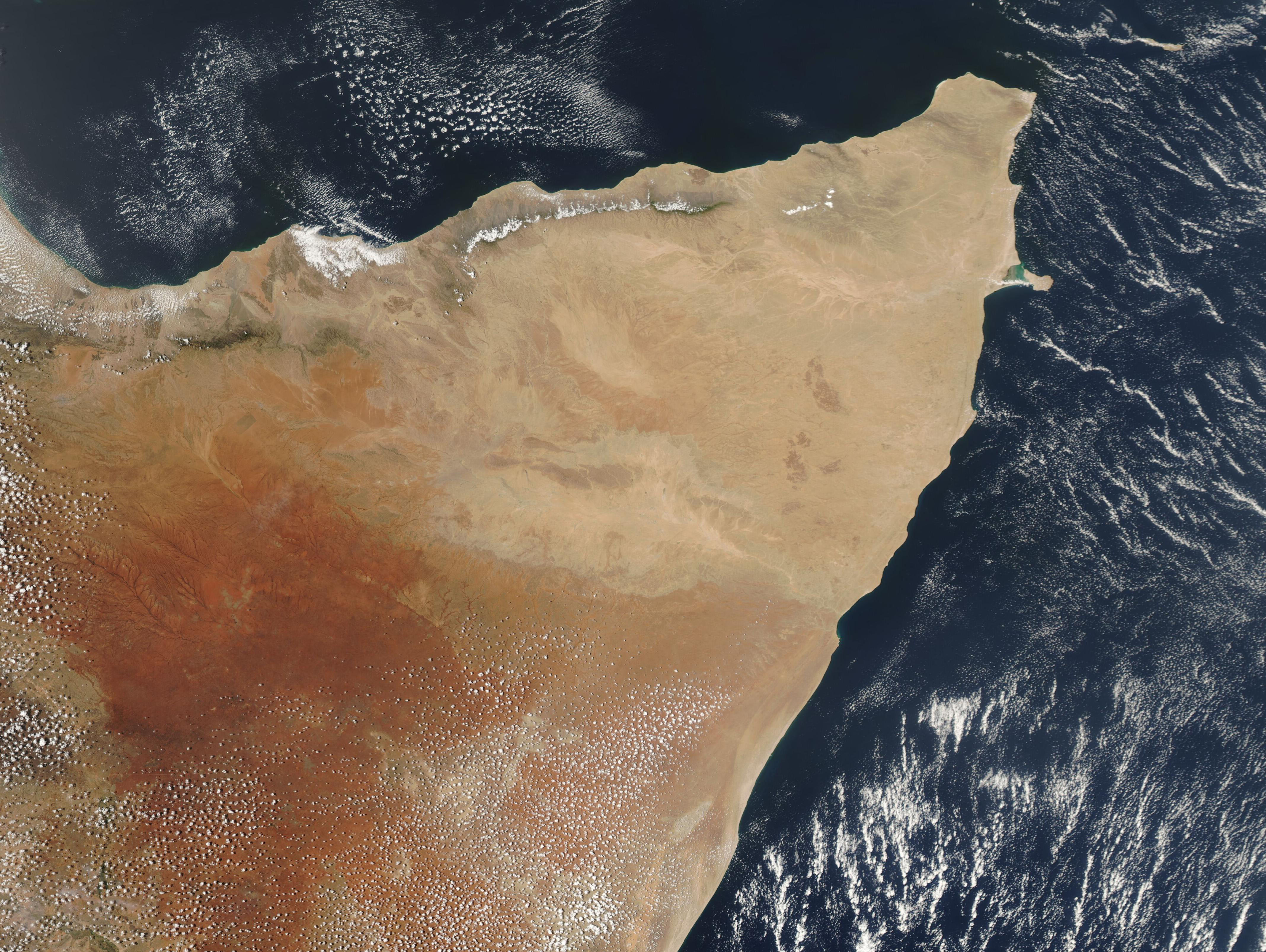
The region known as the “Horn of Africa” is a broad peninsula that juts into the Indian Ocean on the northeast corner of Africa. Spanning about 2,000,000 square kilometers (772,204 square miles), the climate is predominantly arid or semi-arid, with vast expanses of desert. Parts of the Horn of Africa, however, contain lakes, rivers, forests, and mountains. From northeast moving clockwise, the countries along the coast include Eritrea, Djibouti, and Somalia, and all of these surround the inland country of Ethiopia.
The region has struggled with drought over the last several years, along with intermittent devastating floods. In late January 2025, ReliefWeb posted information from the 69th Greater Horn of Africa Climate Outlook Forum (GHACOF69), which was held from January 20-21. The forum warned that the March-May 2025 seasonal forecast indicated a higher likelihood of below normal rainfall conditions over the eastern and western parts of the Horn of Africa and surrounding regions. Specifically, below-average rainfall is expected in much of Somalia, eastern and northern Kenya, southern and northeastern Ethiopia, Djibouti, coastal Eritrea, western South Sudan, southern and western Uganda, Rwanda, Burundi, and northwestern Tanzania.
The Moderate Resolution Imaging Spectroradiometer (MODIS) on NASA’s Aqua satellite acquired this true-color image of The Horn of Africa on March 21.
Image Facts
Satellite:
Aqua
Date Acquired: 3/21/2025
Resolutions:
1km ( B), 500m ( B), 250m (1.9 MB)
Bands Used: 1,4,3
Image Credit:
MODIS Land Rapid Response Team, NASA GSFC
