
Images


January 19, 2016 - Southern India
 Tweet
Tweet
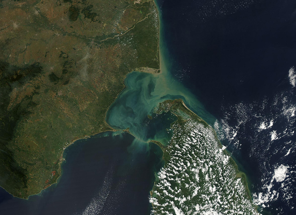
Sediments cast tan, green and milky-blue tints in the waters of the Palk Strait in early January 2016. The Moderate Resolution Imaging Spectroradiometer (MODIS) aboard NASA's Aqua satellite captured this true-color image on January 3.
The Palk Strait separates southern India from Sri Lanka and connects the Bay of Bengal in the northeast with the Gulf of Mannar in the southwest. Several rivers dump sediment in the Palk Strait, but the flow of the sediment to the southwest is limited by a shallow water surrounding a chain of islands which lie between India and Sri Lanka. Thanks to this feature, the water in the Gulf of Mannar remains nearly sediment free.
Image Facts
Satellite:
Aqua
Date Acquired: 1/3/2016
Resolutions:
1km (350.3 KB), 500m (984.1 KB), 250m (868.6 KB)
Bands Used: 1,4,3
Image Credit:
Jeff Schmaltz, MODIS Land Rapid Response Team, NASA GSFC
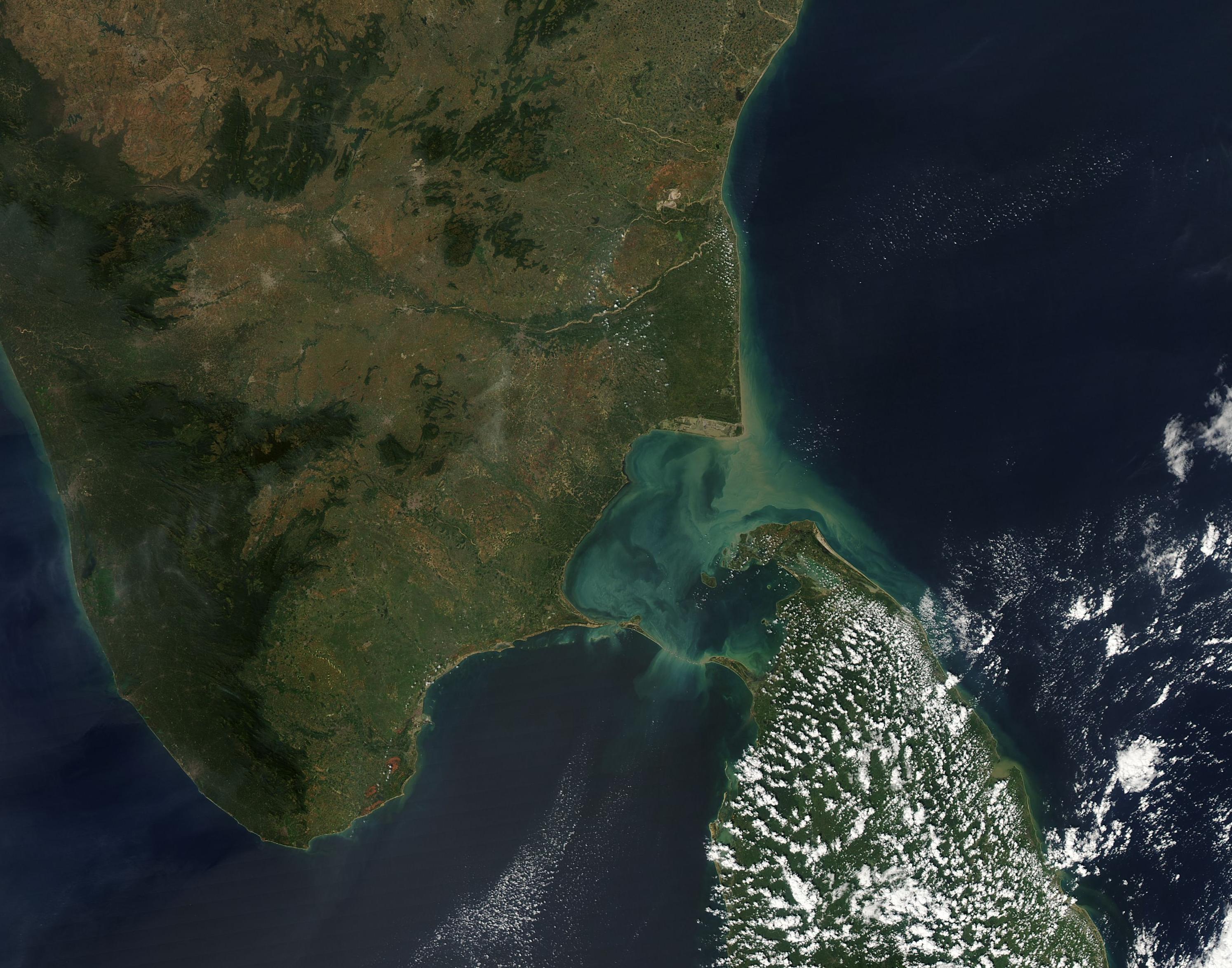
